Showing posts with label old iron bridge. Show all posts

Thursday, January 6

Winter in the High Country- Part 3

 Continuing on from Part 2    (and Happy Holidays to you all, I hope you've had a magical time)

Sunrise at the cottages next morning was spectacular! Just what I'd hoped for and the reason I'd wanted to return to there from Lake Pukaki and park up in the middle of a freezing cold hoar frost. 

Night Sky Cottages, Twizel, Mackenzie Country

It's not often that a sunrise can be captured during a hoar frost as usually the fog is too low or there's an inversion layer sitting between the sunny blue skies above & the frozen ground below. From experience I've found that a colourful sunrise usually happens on the last day of a hoar frost; the layer of fog has started to dissipate and the sun rays work their way through the thick cloud. 


Looking over the back fence, in the opposite direction to the sunrise, there was a beautiful pink glow over the landscape. A low bank of fog sits over Lake Ruataniwha behind the trees (click on the photo to check) and this is where it usually rolls in from, smothering us & Twizel town in a thick blanket of fog for several days at a time during winter. The fact that I can see this far today is another indicator that the hoar frost will be gone soon.


I head off early hoping that the it won't disappear before I've done my rounds. First stop is just down the road where the air is clear and the frost has coated the poplars & willows on Ben Ohau Station.

Glen Lyon Road, Twizel
Loch Cameron is much clearer than yesterday when all I could see was a ghostly shape of a tree on the edge of the pond. At least half of the surface is frozen which has pushed the NZ Scaups (diving ducks) to the end of the loch. 


Next stop is my favourite lookout above Lake Ruataniwha where there's a stunning winter wonderland on display in front of me.


The fog has retreated although it appears to be hanging around 'my' ponds below Benmore Range.


In the other direction Ben Ohau stands proud at the end of the range overlooking the winter scene below.


Of course the next stop is my favourite view over Lake Ruataniwha's lagoon, although I think my hoar frost photo from the winter before is still the better one.


The Lagoon- 2020

Another stop, another favourite view; the Old Iron Bridge over the old Ohau River pond below Lake Ruataniwha's spillway. I'm thinking up a plan here but...


...it's onto the Ponds to check them out first. This is the main highway, SH8,  just south of the salmon farm and where there's usually plenty of sightseers parked up taking in the amazing spectacle. I think I'm a little too early for them today, often there's black ice on the road north & south of Twizel at this time of the year and people wisely hold off travelling until later in the day.


The fog has lifted but the water is ruffled so there'll be no reflections here today.


There were several photographers (hidden behind trees & behind me in case you're looking) at another popular area of Kellands Pond where the water has also frozen over.


The raupo spikes (bullrush) look like giant popsicles. 


To shoot the highway culvert requires some careful stepping on drowned tussock mounds with icy patches in between. I should have worn my gumboots as I broke through the ice this time, brrrr!


The infamous nor-west arch was forming overhead and the fog had all but gone; once the wind & temperature picks up the frost will start to melt. I need to get moving.


This is another favourite view that I have several photos of during the various seasons; the brown rushes around the large tree over the far side remind be of an Elizabethan ruff.


I hurry on along the track, stopping briefly to take photos of the trees and their beautiful white icicles.


At the far end of the pond where the cold air is still & the water is sheltered from the wind, ice stretches from one side of the pond to the other.


After circling the pond I have one more place to return to before the frost disappeared. The nor'west arch is giving some great colour to the scenery but the still air is starting to move too.


While I was taking photos of the Old Iron Bridge from above, I thought to myself I really should head down to the pond and take some photos down there. But I wanted to get to the ponds first so on the way back I headed down to the bridge. 


And I was so glad I did, it was truly magical...


....and I captured, what I think, are my best photos from the three day hoar frost.


It was also very sheltered down below Lake Ruataniwha's dam wall so I was able to get my reflection photos.


And also one of my new favourite photos; the bridge from a totally different perspective and looking (to me anyway) very much like a Japanese scene. 


This photo also won me a place in the Creative Mackenzie Book & Art Festival photo competition and is now on display in Twizel's town square.


Along with a second hoar frost photo that was chosen too- it may look familiar!


As I headed home along Glen Lyon Road, I stopped across the road from the holiday park to take a last photo of the ice on the pines. The icicles were just starting to slide off the trees in great showers of ice crashing through the branches and knocking more off as it went.  I must take a video of this next time, it's quite magical listening to the noise and watching it fall.....as long as you're not standing right underneath that is! 

Just 2kms further on the frost had long gone; the fog hangs around town a little longer than out in the open. 


And that was that for the year, another spectacular hoar frost done & dusted!

Saturday, August 10

Along the Canals- Mackenzie Country

Catch-up 

Another hiccup has put me behind again- my computer crashed, well not quite crashed, it was hanging on by a thread and we felt it better to replace it and transfer all my files before it did decide to spit the dummy. And with a new laptop- a fabulous HP Omen- & no, I'm not a gamer- I needed heavy duty & a 17' screen- came a new inverter for the van to power it. Which in turn created a few issues of it's own. 

I'm now back up and running thanks to my wonderful computer savvy husband and I'm thrilled with my laptop. The high definition screen is superb, my photos are now crystal clear and even I am amazed at some of the photos! And the speed that I'm able to process photos is fantastic, no making a coffee now while I wait for a bulk lot to download. So anyway here's the next blog, we're still in Twizel.

Now that I had the hoar frost out of the way (until I find another one), I was able to focus a little more on some of the stunning sunrises, sunsets and winter landscapes of the Mackenzie Basin. This blog takes us along some of the canals, the next one will be around the lakes.

Sunset over High Country Salmon Farm, taken from the NZMCA Ohau B Canal camp.


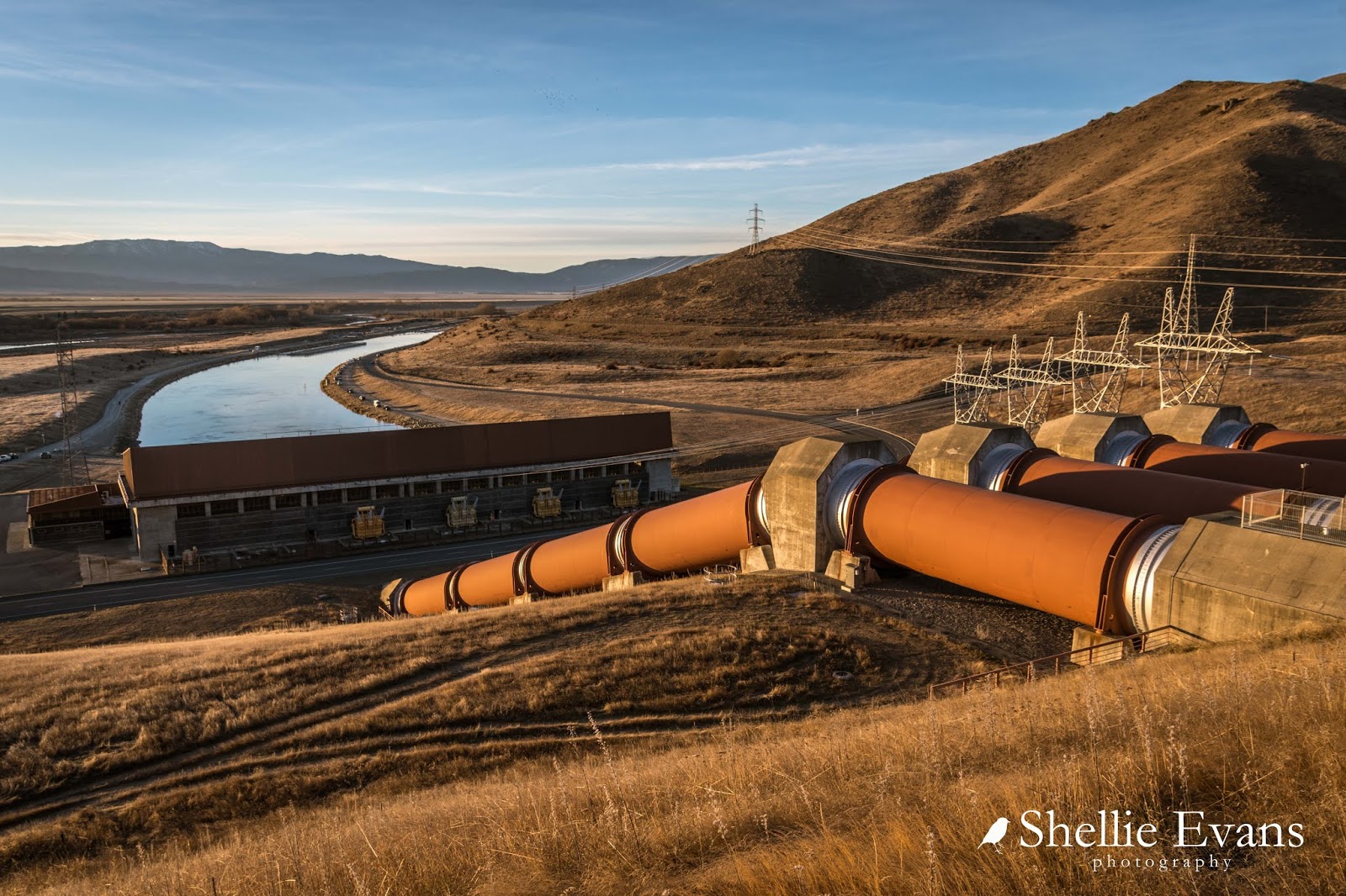
Obviously there's a reason for all the man-made canals that criss-cross the Mackenzie Basin; they feed the hydro power stations which in turn provide much of New Zealand with electricity. And with power stations come the pylons, hundreds of them. So there's no choice but to make them a feature when taking photos around the Basin.

These next few photos were taken from the top of  the hill which I traipsed up and (slid) down in the freezing cold for several mornings in a row while we were parked at Ohau B. 


High Country Salmon Farm and Wairepo Arm, a large pond that is fed from the canal-


Always look behind you when taking sunrise photos, sometimes the colours are just as spectacular...


... and if you have 360 degree views there's a constantly changing colour and light show going on around you.

The sun rises over Lake Ruataniwha, with Ben Ohau (far left) and the Ben Ohau Range behind.


Twizel township sparkles as it wakes to another spectacular high country day. 


And you'll recall I mentioned attempting to do some car tail-light trail photos using the vehicles heading to the escaped salmon canal when my camera battery ran out. Here's another attempt a day or so later. There weren't enough vehicles in the end to give a good trail of red and you can see my shutter speed wasn't long enough because the lights come to an abrupt halt halfway down the canal! 


And here's three last photos from a very intense sunrise, I know it's going to be a good one when I look out in the early morning gloom and see that the clouds are thick and streaky overhead just before the sun pokes it's head over the horizon. 


There's those pylons again, this time looking like space rockets on a launch pad.


The colours start to leach out of the sky by the time I get back to the van but there's still some awesome colour over the top of the two buses parked behind us, and whose occupants are happily snoozing away tucked up in their warm beds, totally oblivious to nature's spectacle happening overhead. 


As the sun rises, the mist lifts from over the canal to reveal early bird fishermen on the other side of the canal. Camping is not allowed along the canals but a lot of people arrive at their favourite spots well before sunrise.


The sun rises over Ohau B Power Station and the early fishermen who passed by me while I was on top of the hill.


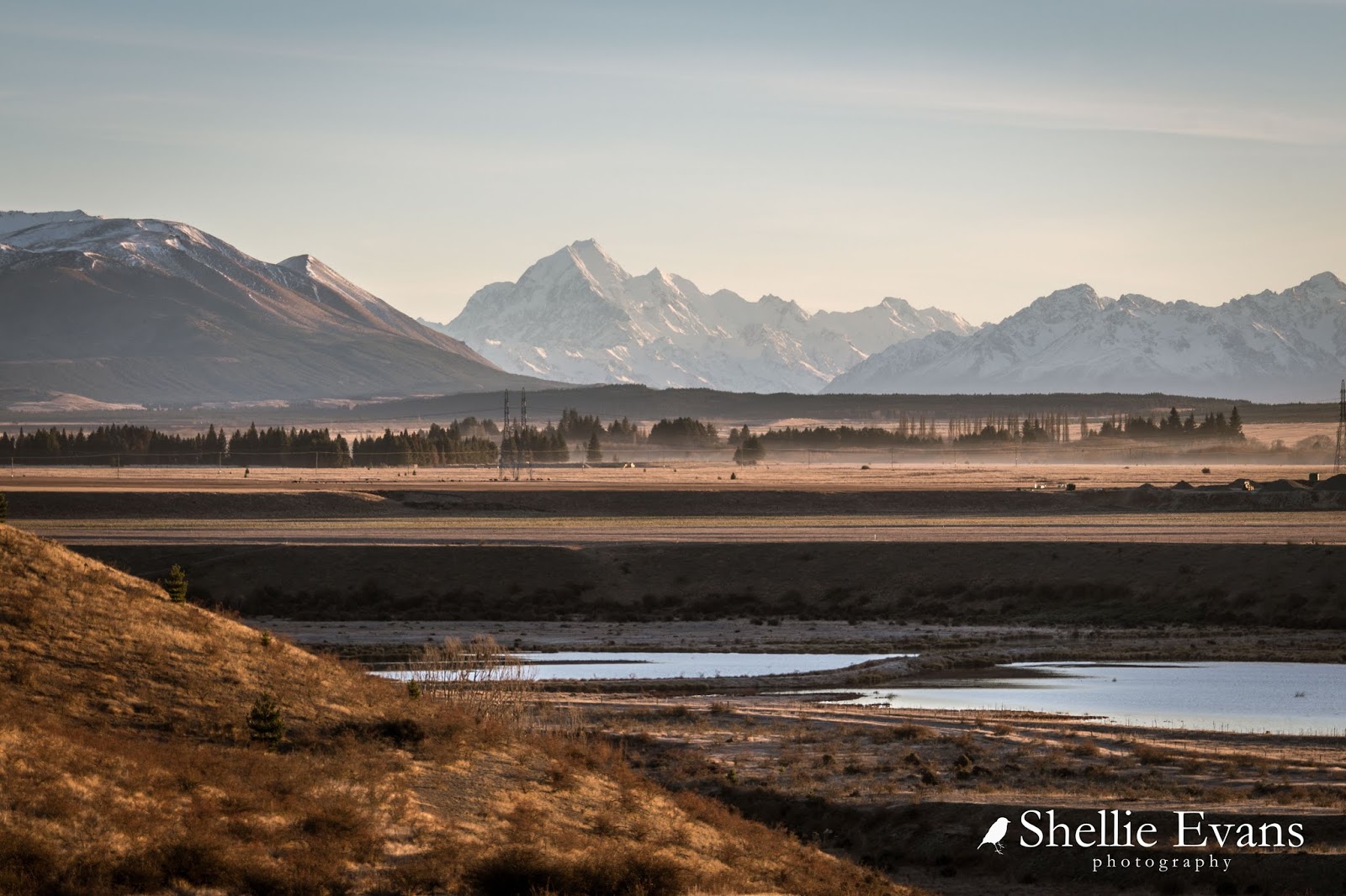
And once again from my vantage point above the power station I can clearly see Aoraki/Mt Cook across the Basin.


The curve of the canal below the power station is hot property, it's where most of the early fishermen head to, chasing those elusive escaped salmon.


On this morning I walked along the north side of the canal to the salmon farm, there were a few people fishing along this side too but only the hardy, as you have to walk to your spot and leave your creature comforts in your vehicle back at the gate. Non- salmon farm vehicles aren't allowed.


It's interesting watching the activity at the salmon farms, although usually they are only feeding the fish; throwing out scoops and scoops of pellets over the top of the large nets that contain the fish. But on this day they were netting the salmon and putting them into bins.


I thought they were harvesting them but it looked like they were weighting & measuring them and then putting them into another bin and then back into the main net again. I'm still not sure what they were doing; maybe milking them of roe? But look at the size of those fish, the poor fishermen nearby looked on in envy at the size of them.


Meanwhile over on the other side of the canal, fishermen were still catching the escaped salmon and discreetly as possible preparing them for their chilly-bins. Though nothing is discreet when you have me on the other side of the water! 


A lot of people park their motorhomes and caravans along the canals while they fish, it provides a place to keep warm, have a cuppa or lunch and for partners to relax in while the other half is fishing. 


David's heart wasn't into canal fishing on this visit and he hadn't been feeling too well- although he did fish from our canal and at Lake Ruataniwha a couple of times, though had no luck. I wanted him to at least give the escaped salmon a go, so he humoured me for all of an hour but still had no luck.


Although he did enjoy chatting to a few of the others about their catches or lack of.


I was looking forward to tucking into some salmon of our own but I did had a backup plan...


...buy some frames from the salmon farm shop! I've only ever bought salmon sashimi and fillets from the shop but they are expensive. Thanks to a tip from Colleen, a fellow motorhomer who we  caught up with in Fairlie you can buy five salmon frames for $10 (they actually gave me six frames).

I took the heads & tails off (you could make a lovely broth from them, I didn't bother this time) then halved each frame as they are huge! Then I simmered them in two batches for about 4-5 minutes each (if that), drained and cooled them and then pulled the flesh off which in fact just fell off the bones. I had enough for salmon potato cakes for dinner that night & a fish pie the next with still enough salmon to fill two medium sized freezer bags. A perfect solution if you don't catch any fish (although a little time consuming to prepare).


A canal that I don't mention often is the Pukaki Canal which runs along the bottom of Ben Ohau Range; it is in fact the one that is most visible to the many visitors passing through MacKenzie Country. The canal exits Lake Pukaki near the lookout to Aoraki/Mt Cook and passes under the highway further down the road. 


From there it flows along the bottom of the range, with a canal road on both sides; one sealed and one gravel. Lake Poaka and a basic DOC camp are off the gravel road; a long, steep rocky descent off the canal wall at one end and a shorter version at the other end. 


Towards the end, another canal which exits Lake Ohau  joins Pukaki Canal and they both flow into Ohau A Power Station which is above Lake Ruataniwha.


There's a large river terrace alongside the power station which overlooks the water flow from Ohau A and also the smaller Ohau River which has a bypass at the Lake Ohau dam wall. 


Both flow into Lake Ruataniwha and on past our camp down to Lake Benmore.


 At the eastern end of Lake Ruataniwha and a short walk from our camp is the Ohau River spillway (look at that colour, that's MacKenzie Country colour right there!)


And the historic Old Iron Bridge which looks a little drab surrounded by a monotone of dry grasses and bare trees.


Unlike the time I shot it surrounded by snow back in June 2015.


The pond did have some unusual reflections but I was too lazy to walk down to see them. 


Back at camp, it seems that this is the story of our life at the moment; on our own at many of the NZMCA camp sites. Just as we like it....most of the time.