Continuing on with my Northland blogs from February, 2019
From Port Albert we headed further west to our next destination. Over hills and down dales, along dusty back country roads & weaving past tinder dry farmland through the Rodney District...

...until we finally reached our next camp site, Te Puni Campground at Tapora. Tapora is a small settlement at the top of the Okahukura Peninsula a large body of land that juts out into the Kaipara Harbour separating the north from the south branches of the harbour. The top of the peninsula sits right in the centre of the harbour entrance & acts as a natural barrier to incoming weather events.

The campground, which is right beside the Tapora Golf Club, is owned and run by a local farming couple who were excellent hosts. There are cabins available & a great amenities building with lovely sheltered deck for sitting on. We found a level spot on the undulating ground where the powered sites were located watched on by a curious herd of cows.

We had come to Tapora to do some bird spotting on Big Sand Island (more on that later) and when our host heard this he was quick to point out that he often spooked Bittern/Matuku-Hurepo as he moved about the farm & the golf course.
 |
| David checking to see where the flushed bittern was feeding |
Bittern are extremely cryptic (camouflaged) and rarely seen. We have seen several on our travels, most of them have been flushed out of their cover by us being clumsy & not knowing they were about & we also had a couple fly across the road in front of the ute as we've travelled back roads. We've also seen one in freeze mode 'pointing' in a roadside ditch but it was gone by the time we re-traced out tracks. Now we were keen to see if we could finally find a bittern in a wetland up close. We thought we'd try the golf course first.
And sure enough we found one. And once again we were clumsy! We'd only just crept along the fence line down to the swamp when a bittern flew out without warning, right in front of us on the edge of the reeds where it must have been foraging. Bugger. Although luckily I had my camera ready to go but unluckily I didn't have it focused for a bird in flight.

The next day we crept to the top of the hill & lay on our bellies with binoculars scanning the wetland below but I thought we'd probably spooked yesterday's bird & it had gone deeper into the swamp or flown to one of the other wet areas on the course. I left David and moved onto a smaller area I'd seen the previous day.

And as I walked along the fence looking for a place to climb over I couldn't believe my eyes when I spotted a bird 'pointing' in the thick reeds.

I stopped in my tracks and crouched down carefully photographing the bittern as I willed David to come over the hill. It wasn't until I processed the photos that I could see that the bird's eyes were totally fixed on me. Bitterns freeze like this to blend into their surroundings although this one was a little easier to spot against the surrounding green reeds.
 |
| Check the eyes- click on the photo to enlarge |
As I cautiously approached it flattened it's chest to the ground and turned it head slightly still keeping one beady eye on me. I stopped and backed off a little hoping to keep it there until David came looking for me.

But then just as I turned my head to check for David it grabbed it's chance to escape. And of course I didn't have my camera ready so once again I have another blurry photo to add to several others.

And again, it wasn't until I processed the photos, that I spotted that the bird had a really weird leg & foot. It looks like it's missing a foot in the photo above but when you check the photo below, the foot is folded back up the bird's back. Perhaps that's why it sat tight for quite some time. David finally made it over the hill but all I had were photos to show him.

And again the next day we had another look in both areas but didn't manage to flush anymore bitterns. It's back to the drawing board.

We walked around the course checking out a few other wet areas but the bitterns had moved on. After seeing large areas of new avocado orchards further up north we thought this planting beside the golf course was another avocado orchard but once up close I could see that this was in fact a pomegranate orchard. The wind breaks are a tall plant with flowing leaves a bit like bamboo (but it's not) I've seen this plant growing in my sister's garden in Whangarei.

Just up the road from our Tapora camp was the entrance to Big Sand Island/Manukapua & the Manukapua Wildlife Refuge where we were hoping to see some wading birds.

The island is in fact joined to the peninsula by a large expanse of sand which looks to only be covered in sea water at extremely high or spring tides. The island itself is a series of large sand dunes sparsely covered in dune grasses & scrub, it's front the first barrier at the entrance to the harbour.

We made it across a sandy track & into the dunes before our progress is stopped by deep soft sand. The last thing we wanted was to get bogged down in the dunes without another soul in sight. I carried on, on foot, following the track over the last few dunes until I reached the spectacular view out the harbour entrance; Pouto Point is on the right, the north side accessed from Dargaville and South Head on the left.

Once I was back at the ute we drove around to the south side of the island across massive expanses of solid sand. David did a bit of bird spotting but with the tide well out it was pretty hard to see any waders.

Our host also sent us up another access track across his farm to the north side of the harbour just east of Big Sand Island, to the Okahukura Conservation area.

This section was prime real estate for many of our less well known & rarely seen birds such as Marsh Crakes, Spotted Crakes, Banded Rail & Fernbirds along with Bitterns.

We hadn't planned our visit to Tapora too well, the tide didn't suit here either and we also did our walks during the heat of the day. I think a dedicated bird spotting trip would need to planned to have any luck, and it would be best early morning. Still it was a great day for a walk.

I had to zoom in on this 'dinosaur' and take a photo to identify it, it certainly looked like a boat hull from our location, hundreds of metres away. And there are all the waders in front of it.

We had one more place to check out, the aptly named Birds Beach on another point of the peninsula but we'd lost a bit of our enthusiasm in the intense summer heat so instead we parked on the foreshore and had lunch sitting on the tailgate in as much shade as we could find while watching holidaying locals carry buckets of cockles back from the mud flats.

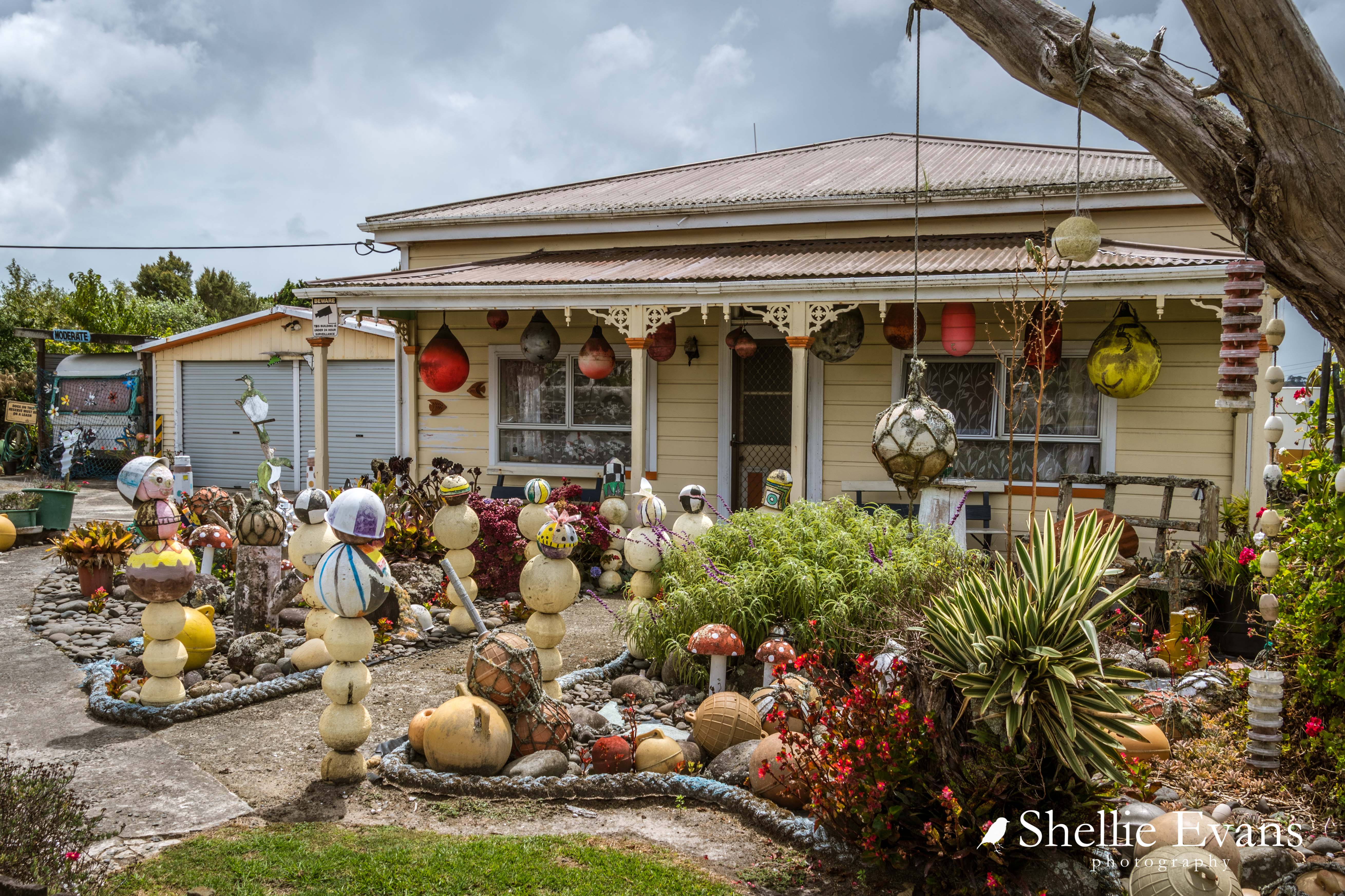
I can't quite decide if this would be a cool address to have or not.....

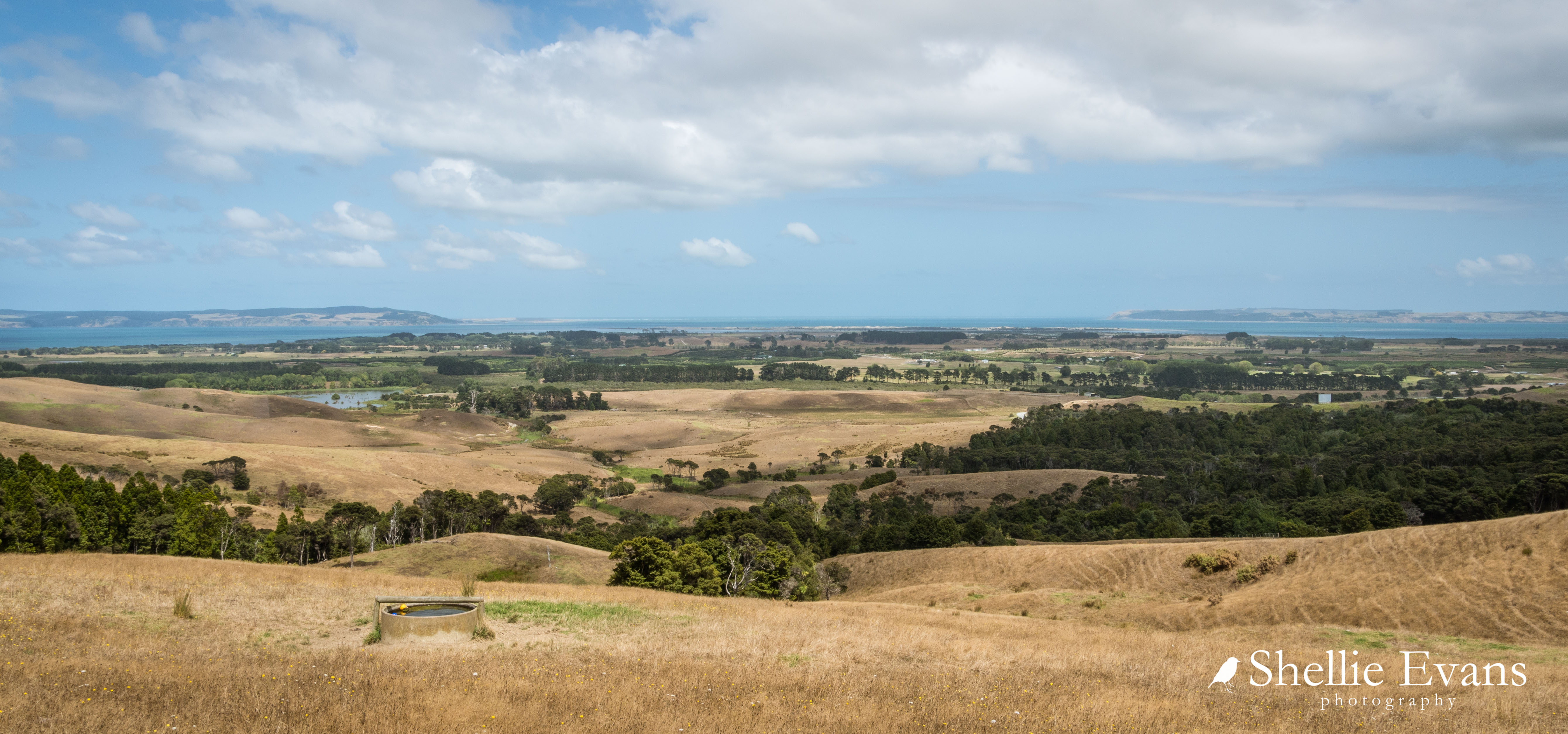
With our bird spotting adventures over I did a little exploring back up the road to the top of the hills behind Tapora. This is looking back towards the Kaipara Harbour entrance with the two points on the horizon.
I had also planned to add another church to my photo collection, the very picturesque Minniesdale Chapel which is not far off the main road but not suitable for a 14metre rig to drive down to, so I had to shoot it before we left the area.

The tiny & cute Minniesdale Chapel has been open since 1867 & in continuous use ever since.

Many of the early Albertland settlers are buried in the old cemetery beside the church. One of the headstones looks to be wooden with a huge crack through it & the base rotting away. I've not come across a wooden headstone before so I hope it doesn't disappear altogether. No wait there was one, Somebody's Darling headstone at the Lonely Graves but it was inside a protective case. And I wonder what a headstone is called when it's wood? A headwood? I don't think so.

I also drove into the Atiu Creek Regional Park, one of the many fabulous parks located around the outer Auckland area and run by the Auckland Council.

The park is a working farm but also includes many walking tracks, mountain bike & horse trails and a couple of camp sites although the top carpark is the only one for RVs. Unfortunately I didn't have time to explore any of the tracks but it's a place I'd like to return to one day.

I was sad to find dozens of dead stick insects on the concrete path beside the toilet block. I suspect that the building had recently been sprayed for spiders & these were unfortunate victims too. I collected them all up and buried them under a pile of leaves.

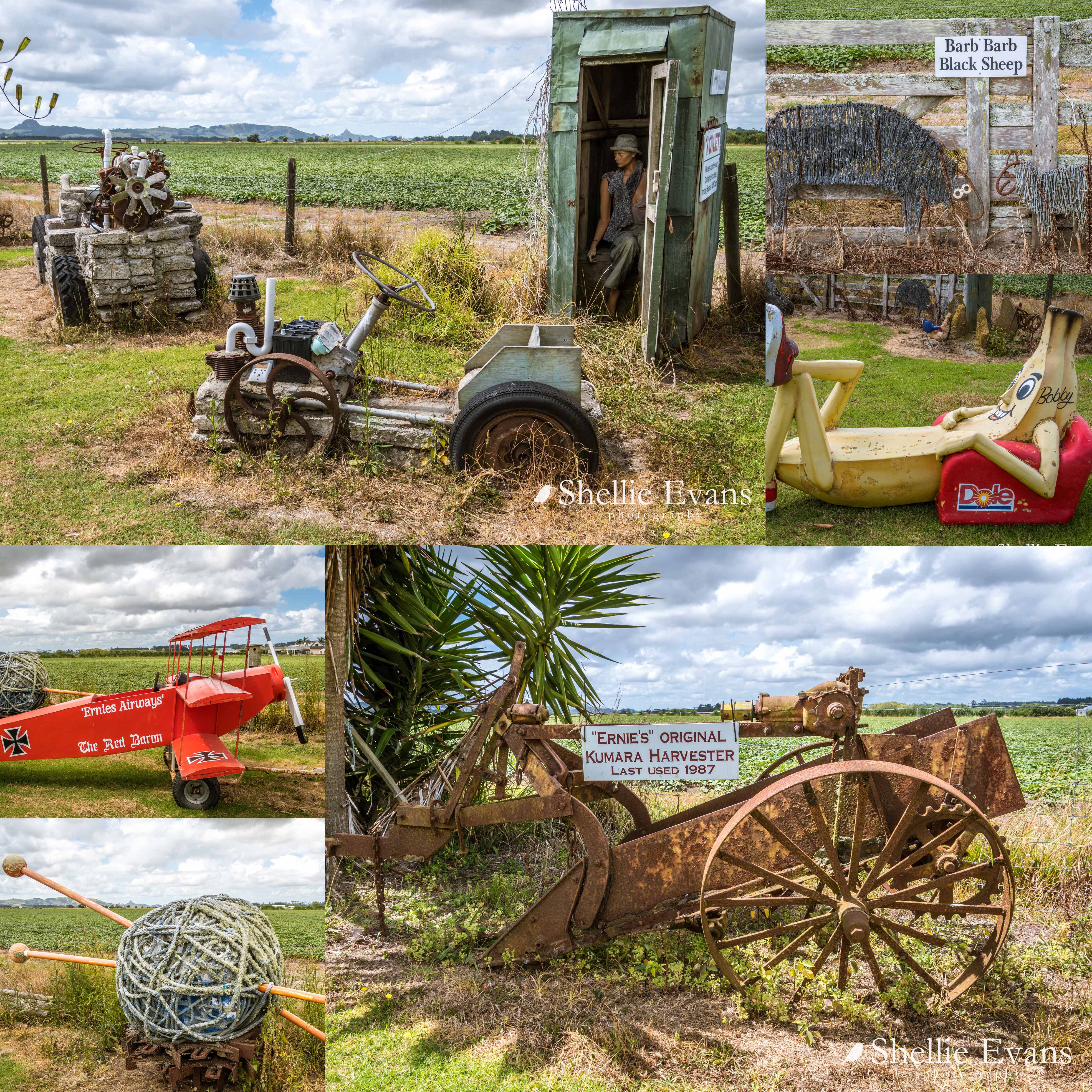
Back on the road and on our way further south it was a surprise to round a corner in the highway & see a famous sculpture off in the distance. A quick snap through the window was all I managed...

Little did I know this was not the last I would see of the Gibbs Sculpture Farm...