It was a cold calm day at the canals when I decided to walk to the far end of Wairepo Arm to check out the reflections. I set off wrapped up warm, day pack on my back and wearing gumboots due to the soggy ground underfoot (aka Wellington boots for my overseas readers). I should have worn my tramping boots in hindsight but I thought I'd only be going for a short walk.

I followed the fisherman's track along the edge of the pond, I've walked it numerous times when I'm birding but I usually drive the 3kms to the far end when I'm looking for reflection photos because according to Murphy's Law, a breeze will kick in ruffling the smooth water just as I get there if I walk.

Today there's not enough overhead light to give clear reflections but the winter colours of the poplars & willows are nearly as stunning as the autumn colours. Because I'm walking I also disturb the waterfowl resting on the pond edge and they fly or motor off in alarm crashing through the water breaking up any reflections that are there.

I pass a stand of alder samplings and try some creative blur shots with the bare trunks. This is done 'in camera' not with processing afterwards. To achieve creative blur in your photos slow the shutter speed down (this one is 1/50sec) and then as you push your shutter button, quickly move your camera up and down. Play with settings until you get the desired effect, it's fun to see what you can produce. I enjoy doing this with colourful flower beds too.

I cross over the main highway to Kelland Pond, another body of water with a lot of birdlife that feeds into Wairepo Arm and on to the canals. I'm thinking that it'll be frozen like it was on another visit and it is, but only just.

And funnily enough I find the same ice patterns as before. Ice is attached to the reeds a few inches above the water level. This happens when the demand for electricity increases and the power stations draw off more water; the pond level drops leaving these unusual frozen patterns.

I cross back over the road and as I reach the end of the Arm I can see that it's also starting to freeze over at a stream outlet. I decide to take a look along the dirt track that runs up the otherside of the pond.

It's dark and spooky in here and the swamp that's feeding the frozen stream is also mostly frozen.

I carry on along the track a little way and then decide to walk back to camp on this side of the pond.

I know from a past visit that there are a couple of calm little backwaters tucked into the trees on this side but in the end they too aren't providing me with any good reflections.

Here's a photo from the previous visit-

By now I realise that wearing my gumboots was a bad idea; after 4kms my feet are starting to ache from slopping about inside with no support. I also know that it's about 6kms to get back to camp from this side as you have to drive/walk up to the power station to cross back over to the camp side of the canal. I put my camera away and press on up the track for another couple of kilometres and then call David up to come and rescue me. It's not long before I see the ute inching it's way around a far corner and then it appears in front of me. A welcome sight for my weary feet.

David stops opposite the camp so I can take a photo from this angle and then we take our time getting back up the track to the power station, it's heavily corrugated and not a nice experience, no wonder not too many vehicles fish on this side of the canal.

David wanted to check out the camp at Lake Benmore while we were at the canals. We've stayed here out of season before and although we had fog for 3 days solid we still enjoyed our time. This time though, it was quite depressing. I think because it is later in winter and very cold.

David enjoys lake fishing from the dinghy much more than the canals so we decided we'd come back again in early summer when the weather is a little warmer.

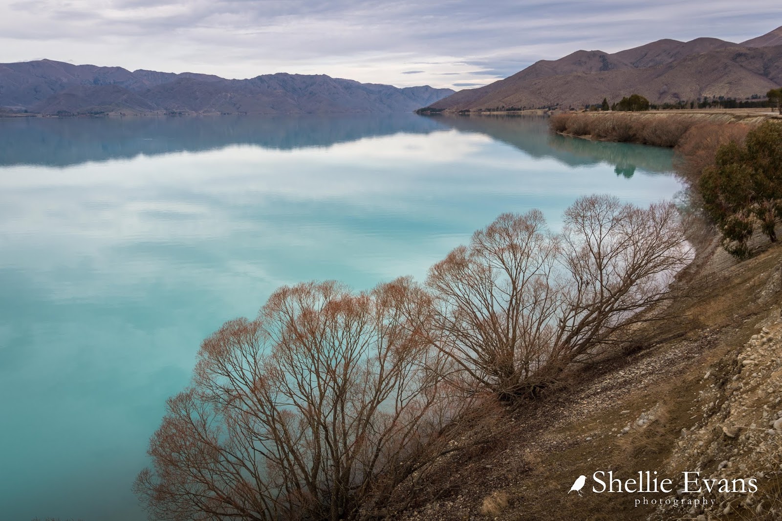
We drove down the road a little further and stopped high above the lake. The colour of the water and the stillness was breathtaking (or maybe that was the cold air).
Further on I spotted this lone willow on a point, of course I had to get a few shots of it...

...and then have a little play processing it later (it's called artistic license).

We hadn't stopped in Lake Tekapo on the way to the canals so while David was fishing I drove back up the road stopping along the way at all my favourite spots.
The beautiful turquoise waters of Lake Pukaki-

Irishman Creek Station's letterbox located on the main highway is a popular subject for passing tourists and photographers to photograph. I think I have a photo of it for every season now including another winter one where it's surrounded by snow.

A visit to Tekapo isn't complete without a short side trip down the Tekapo Canal to one of my favourite locations- Patterson Ponds.

Patterson Ponds are a series of small ponds surrounded by willows and birches which are located in the Tekapo River basin below the canal road and alongside the Tekapo River.

Once again I have photos of the ponds in every season, autumn is probably the most spectacular but in the winter the ponds are frozen and the ice a milky blue.

It is rumoured that large Brown Trout live in the ponds and while we've seen a few small trout swimming about we've never seen the big one.

Freedom camping is allowed beside the ponds and I notice that the road has possibly been graveled and graded (it's still about 2kms long though) and a toilet block installed at the beginning of the ponds, you can see it dead centre in the panoramic photo up above.
I didn't walk down to the ponds this time, just paused on the canal road above. This is looking back over the ponds towards Lake Tekapo with Two Thumb Range in the background.

Finished at the ponds I drove back up the canal road and down to Lake Tekapo where I lasted all of 2 minutes sitting on a bench seat, eating my lunch overlooking the lake. It was bitterly cold!

Next stop is the (in)famous Church of the Good Shepherd which, as is the norm, was swarming with tourists.

It's such a shame that there is now a fence and gates (locked overnight) surrounding the church, although I was pleased to see that the fence had been erected a good distance away from the church...

...so you can still get clean shots of the church if you wait patiently for a break in visitors!

Down below the church a forest of stone cairns (aka rock graffiti) are taking over the foreshore. I suppressed the urge to knock them off their pedestals.

The lake's turquoise blue is very intense in the quieter shallower bays on the east side of the lake.

I drove around to check on the NZMCA Park; one of the reasons we didn't stop here was it was closed for maintenance over winter. Many of the inner circle of large pine trees have been felled, this will open the space up and let in a lot more sunshine.

I stopped back in town to buy a coffee and noticed a lot of black suits and security guards walking around near the new $11 million Dark Sky Project building on the waterfront. The Governor General and Mana Whenua were due to open and bless the building.

They must have heard I was going to be in town, I was also here for the opening of the footbridge by Dame Jenny Shipley in 2015.

On the way home I stopped off at a view point overlooking the freedom camping area on a point that juts out into Lake Pukaki. There were already a few settled in for the night.

With no signs of fish or another hoar frost due anytime soon we decided to carry on south, stopping at the entrance to the Ahuriri Valley on our way. At the far end of the road is where we woke up to -16c and a hoar frost, it's where the photo was taken that's on back of the 5th-wheeler and this is the first time we've come back past since. We'll be coming back in the summer next time.

Then it was up and over the Lindis Pass and into my favourite province of all, Central Otago (aka Central to locals and wannabe locals)


