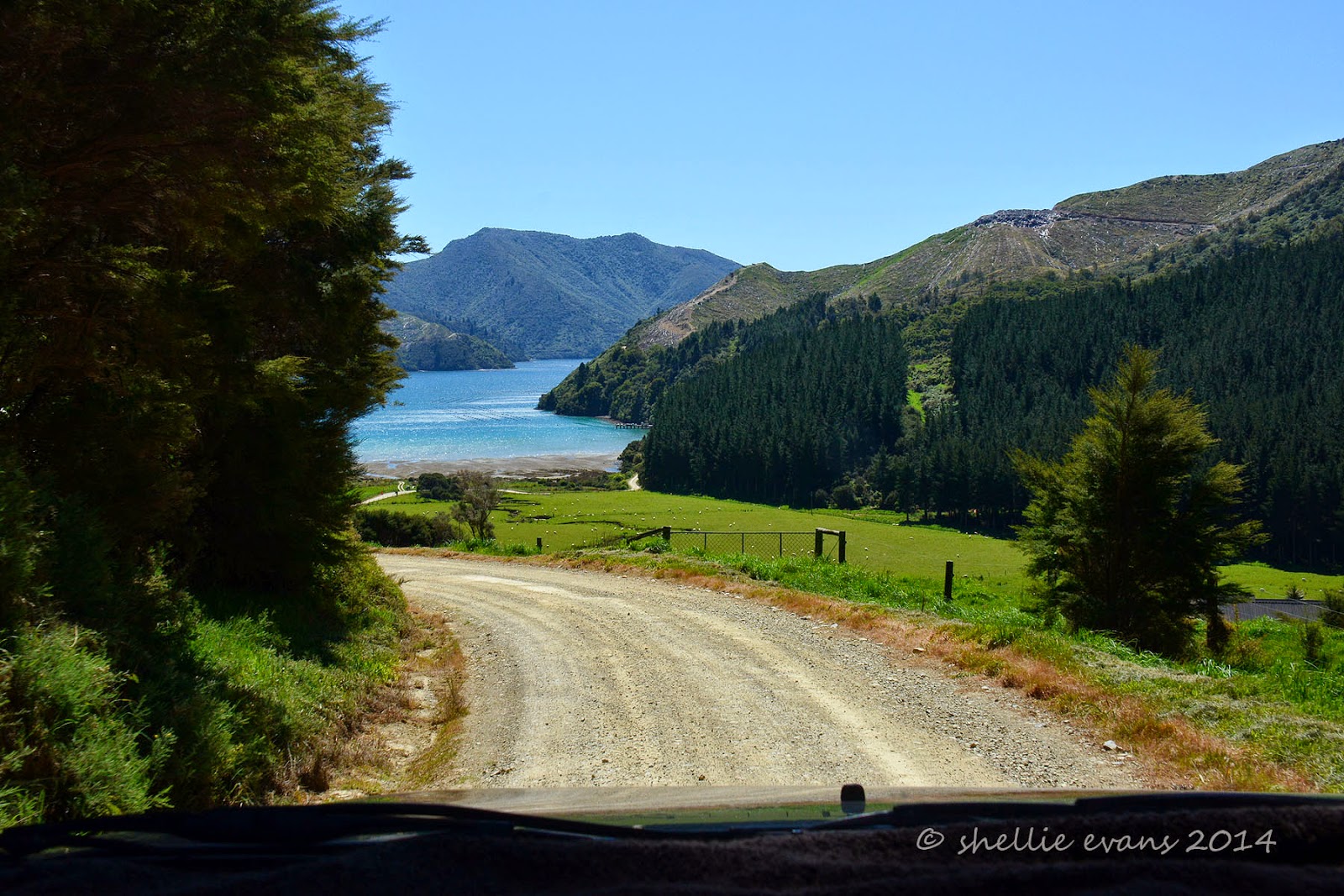
We take a left turn at the junction just past our camp site at Kenepuru Head, it’s time to explore down the west side of Kenepuru Sound. Hopewell is at the very end of the road which winds it’s way right along the shoreline, the Crail Bay Road heads over the top of the hills to, well, Crail Bay. You’ll remember we visited Crail Bay on the
mail boat a week or so ago. It’s time to join the dots!
The road is sealed for the first 5 or so kilometres but soon turns to gravel & it’s just as winding as the road into Kenepuru Head. There are more houses & farms along this side & just before the gravel starts we come across a large grassed area on the water’s edge which is a freedom camping area, one of the very few sanctioned freedom camping spots we’ve seen on our South Island travels so far.
And look what the area is called- Taradale! Now that’s a nice surprise. I grew up near Taradale in Napier, Hawkes Bay. It’s the first time I’ve seen the name Taradale anywhere else in New Zealand.
The waters of Kenepuru Sound are silky smooth, not a ripple to be seen and the colours are amazing with so many shades of blues & greens. The beautiful teal colour seems to show in the shallower waters while the deeper bays and channels are a deep blue.

In the left photo above you can see dead wilding pines dotted through the bush on the ridge in the background, the ridge that separates Kenepuru & Queen Charlotte Sounds and where the QC Track runs along the top. Wilding pines are a major pest problem in NZ, seed from commercial pine forest blocks (like the one shown in the bottom right photo) is spread far and wide and because pinus radiata is such a fast growing tree, the seedlings soon take over in the native forest. Each wilding pine has to be individually poisoned, men are either helicoptered in or have to fight their way through the bush to each tree. Once it dies the tree’s skeleton will slowly rot and eventually collapse (or crash) into the bush and rot away providing food and mulch for the native forest. This has found to be the most effective way of getting rid of the pines and it must be working because we’ve seen whole hillsides of dead and dying trees on our travels.
This very bright red bach stuck out like a sore thumb amongst the blues & greens of the countryside. I liked the sign; ‘The Wharehouse’- whare is Maori for house/home so what they are saying is ‘The Househouse’. A bit like the new horse I got the year I took French at high school, I named him Cheval!
Someone obviously loves doing woodwork in the area & donating it to the community, there are a few wooden seats placed at odd spots, the sign back at Taradale & now this one nailed to the power pole. Strangely enough we never have this problem, you can’t argue with Mr TomTom. And anyway we’re never lost, we’re just exploring.
There are quite a number of holiday homes and farms at Waitaria Bay and a long jetty, many people must arrive by boat from Havelock to this side of the Sound, it would save a long 60km plus road trip.
There are also some gorgeous old boats moored in a lot of the bays, including this beautifully restored launch. I love the chimney stack colour, just like the big ships.
I’d seen on the map that there was a golf course at Nopera, another tiny settlement not too far from the end of the road. We had discussed whether we’d take our golf clubs with us and have a game but in the end decided that we’d just explore this afternoon. We stopped to have a look on our way past though and found the greenkeepers wife doing some paperwork in the office and she offered to show us through the clubhouse! Her husband was out mowing the greens and she told us that while the membership was dropping, they still had enough members to play club days once a month.
And look at that sign board, there’s that Kiwi humour again. The car park is also a park over property for motorhomes & caravans, although a little expensive when you have a freedom camping site further back up the road.
We have seen some weird & wonderful front entrance ornaments on our travels but I think this one takes the cake! David can’t get over the amount of ‘junk’ & super sized knick-knacks that people adorn their gates, fences and driveways with. I tell him this is the rural take on gnomes in the garden.
Just before the end of the road at Hopewell (where, miles from anywhere, there is of all things a backpackers lodge- do they drop in by parachute I wonder?) we pass this luxury lodge with it’s very own jetty. On the way back we stop so I can take a photo and the manager just happens to be walking up from the jetty. He stops to talk to us and tells us that
Raetihi Lodge has new owners & has just had extensive renovations and had only re-opened a couple of weeks ago. He had just run guests in the boat across the Sound to Portage where he had then taken them over the saddle to Queen Charlotte Sound where they’ve caught a water taxi back to Picton. The men in the party had been fishing while the women had been pampered. He invited us in for coffee but we declined as we still had some exploring to do.
We head back along the road for a few kilometres and then take the side road to Crail Bay passing this gentleman in his weird contraption along the way. It obviously didn’t have any suspension because he gingerly raised himself from the seat everytime he passed over a rough patch as he approached us.
It was 14kms to the end of the road and after a steep narrow wind to the top of the hill we wound our way down the otherside and into Crail Bay. But I couldn’t see the jetty that we delivered the mail to the other day. A quick look at the map and I saw that this was at the head of the bay, the jetty we visited was further along the bay around the point on the right.
By now we were hungry (and thirsty) and looking for a place to stop and have lunch, I was thinking a nice grassy patch on the edge of the water would be good but all we found was a gravel track into this jetty.
We set the chairs up in front of the ute and had our lunch in the lovely warm sunshine overlooking the bay, with not a soul in sight. If it weren’t for the two vehicles parked on the jetty we’d have thought that this side was uninhabited.
Beside the track was this old cargo shed that looked to be hanging on by a thread, the piles were rotten and worn away and the far side was propped up by large poles.
It looked like someone has used the shed as a studio/workshop at some stage as the rotten floor was covered in gear and half finished projects including a small plane. It looked like a mould plug for a flying plane or some such I thought- similar to the ones you see at the side shows. Part of the shed had been added on to and someone has helpfully added a sign indicating the back wooden plank section was ‘historic’. I wouldn’t bet on it standing for much longer given the ferocity of winds in these parts.
We decided we just couldn’t take any more winding gravel roads and decided to head for home instead of driving the final 6kms to the end of the road which meant we didn’t quite get to join the dots with the Crail Bay mail jetty.


.jpg)