Catch-up, back to the West Coast again!
The thick fog overnight at
Lake Paringa eventually lifted to reveal another stunning West Coast day- eight and counting. It was time for us to hit the road again and make the most of weather; an incoming low pressure weather system promised rain for a few days.
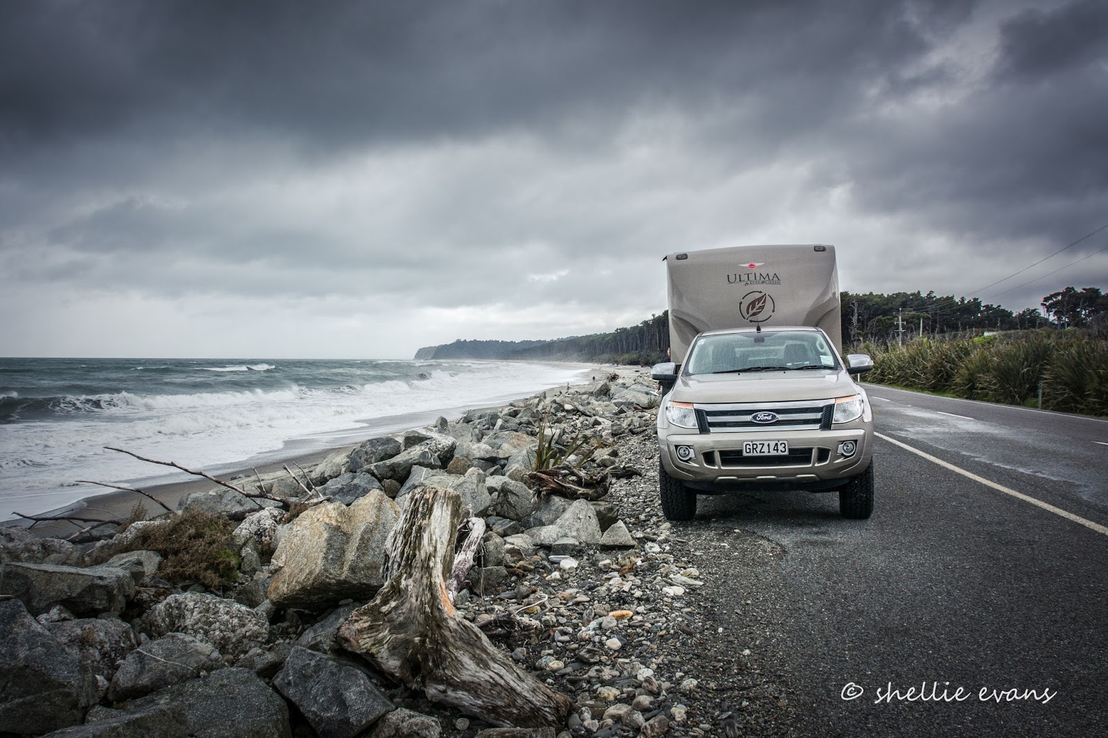
After winding our way through many kilometres of beautiful rainforest, our first stop for the day was where the road eventually met the coast on the remote, wild and windswept Bruce Bay. Usually a large Tasman Sea swell would be pushing in here, waves dumping logs and driftwood on the coarse black sand but today it was rather sedate.
Strewn along the beach amongst the driftwood and usual greywacke stones are many large pure white quartz stones. Near the track is a large pile of these white stones and larger rocks. This is what I wanted to see at Maori Beach.
Passing travellers have written messages on the stones and have built large cairns in several places along the beach. A shrine to lovers, lost souls, waifs, strays and the travelling public!
Another church for my collection and what a beauty- Our Lady of the River at Jacobs River. I love the simplicity; the tiny windows, the sign on a stake, the gate and fence. It needs just a bit more snow on those peaks behind to complete the picture.
I spotted the Karangarua River bridge from some distance away, and then it disappeared behind the forest. We stopped near a track that I thought would lead down to the river bed, and it did, but it was quite a walk and then I had to head across the rocks towards the river to get a clear shot looking up the river towards the bridge.
Most of the rivers south of Franz Josef were bridged during the 1920 & 30s and they were all single-lane suspension bridges, similar to the one one here at Karangarua River. This one was has 130 metre span and is the longest single-lane suspension span still in use in New Zealand. We also crossed similar bridges over the Fox & Cook Rivers on our way north. I hope they never replace these bridges, they are real treasures; what's a few minutes inconvenience waiting to cross compared to the beauty, character and history behind them.
It wasn't long before we caught sight of the Aoraki/Mt Cook (or is that Mt Tasman/Horokoau) in the distance and knew we were getting close to...
...the tiny bustling village of Fox Glacier. The high season has all but deserted the Coast and it's many tiny settlements, some of which rely heavily on the spending power of passing tourists. At least those that do travel out of season can get a meal or a cup of coffee without queuing, and a park right outside the door!
The historic Fox Glacier Heartland Hotel is by far the biggest building in town. Originally opened in 1928 and restored in 2007, the hotel would have seen many climbers, adventurers and travellers from around the world over the years. If only the walls could talk. Fox Glacier is just a six kilometres up the valley behind and under that cloud formation. We'll do the walk to the glacier another day, today we are on a mission.
But not before another stop and another church; a sister to the Jacobs River church- Our Lady of the Snows, at Fox Glacier. I love the names, and I don't know it yet but there's two more I'll shoot before we leave the Coast.
We're heading to the world famous Lake Matheson, which is just a few kilometers west of the village. Lake Matheson is the most popular walk on the coast and is famous for the mirror view of the Southern Alps, including Aoraki/Mt Cook and Mt Tasman, in its dark reflective waters. The dark colour is caused by natural leaching of organic material from the surrounding native forest into the lake.
We ease ourselves into one of the large carparks towards the back (this is obviously a busy place in the season) taking up a few parks in the process. And how's that for a fabulous backdrop, the beautiful Southern Alps. It's hard to believe that just over the top of those mountains is the other side of Mt Cook. Well of course it is, but what I mean is the front side (or is it the back) of
Mt Cook, the Mt Cook village,
Hooker Valley,
Tasman Glacier and Lake Pukaki. It's a whole nother world.
Along with the carparks, there's a large cafe and up-market souvenir shop at the entrance to the lake. This is not quite the picture I had of Lake Matheson; it always looks quite remote and un-spoilt in photos.
But once past the shops, the path turns into your usual well formed DOC track, and it even has the obligatory swingbridge over the Clearwater River which runs close to, but does not drain the lake.
The complete circuit of Lake Matheson is 4.4kms and it takes about 1hr 30min to walk, this sign is where the loop joins on the anti-clockwise circuit. It's here that we have to decide which way to do the circuit, it's another 10 minutes to Reflection Island going clockwise. It's early afternoon and I'm worried the wind will be up soon, I want to make it to Reflection Island before that breeze kicks in.
A dairy farm borders the lake reserve and the smell of silage assaults the nostrils as we make our way through an open area. I wonder what the tourists think of that, I wonder if they even know what is causing the smell. The sights and smells of rural New Zealand at it's best, cows & pukeko in the paddock and the surreal sight of Mt Tasman & Aoraki/Mt Cook in the background.
This morning's frost is still heavy on the ground in the shade.
I race ahead of David (who's seems to think he's out for a leisurely stroll), making myself stop to capture some gorgeous fungi I spy on the mossy banks along the way.
So far the lake hasn't made an appearance through the thick forest although I know we're following up the north side of it. The path winds up and down through some beautiful bush and then suddenly there's a gap in the trees and I can see the lake, and see how calm it is. Yeehaa! Just what I ordered.
It's still another five or so minutes to Reflection Island so I press on, breaking into a run(trot) when no one is looking. And then finally I arrive....
...and so has that pesky breeze, foiling my perfect reflection of Lake Matheson. Darn!
Lake Matheson is a kettle lake that was formed almost 14,000 years ago as Fox Glacier retreated and left in its wake a massive crater. A kettle lake has no streams running in or out of it, it's basically a large puddle which is topped up by rain. And luckily there's plenty of that on the Coast.
I take a few dozen photos from Reflection Island (and no, you won't have to see them all). David has arrived and left during this process and I can hear his voice off in the distance and from up above somewhere, as I carry on around the lake; he's at the 'View of Views' lookout, regaling some overseas visitors with tales of life on the road.
The lookout is a small space but I manage to squeeze between those that aren't taking any interest in the fabulous view to take a few more photos. You can see the platform rails at Reflection Island in the middle and also the breeze, which is now moving across the lake.
We carry on around the lake and follow a board walk across a small wetland area.
The next stop is at the Jetty Lookout and the view is once again spectacular even though the two mountains are hidden a little behind the trees. And the breeze has moved on, there's now some mist gathering in the shade.
There have been many postal stamps over the years that feature Lake Matheson and the reflection (I know, I used to collect NZ stamps). This is one of the earlier ones, a Peace stamp issued in 1946 to mark the end of WWII.
I have always had in my mind, that, what appears to be the taller of the two prominent mountains is Mt Cook, when in fact it's Mt Tasman. I mean who made that decision, Mt Cook, New Zealand's tallest mountain should be in the middle! It's taken me all these years to learn this fact, that's twice I've muddled Mt Cook up, once over the other side too. (Click on the photo to enlarge).
So there you go, Mt Tasman/Horokoau on the left and Aoraki/Mt Cook on the right. We left the jetty and completed the lake loop a short distance later, then made our way back to the carpark...
...where a surprise awaited us. The ute had a puncture, our first one in 3 years on the road and over 48,000kms. It was inconvenient especially with the heavy 5th-wheeler attached but still, it couldn't have happened in a better place; hostess & tea making facilities available, dry ground, warm temperatures, no traffic and a view to die for. And although it was hard work, the tyre was changed with minimal fuss, it was the following 40 minutes spent looking for a misplaced ignition key that wore us out!
We made the decision to carry on to Franz Josef rather than stay, as was planned, near Fox for a few days. It was the weekend so we'd have to wait until Monday to have the tire repaired and Franz Josef has a bigger village and we'd stay at the NZMCA Park while we sorted things out.
It was just a short 26kms trip to Franz Josef but boy that section of the road is a tough one; climbing up, and winding down with numerous hairpin bends along an extremely narrow road. It was a relief to finally pull into the NZMCA Park and set up camp for what turned out to be nearly two weeks, as the West Coast rain finally arrived and set in for the duration.