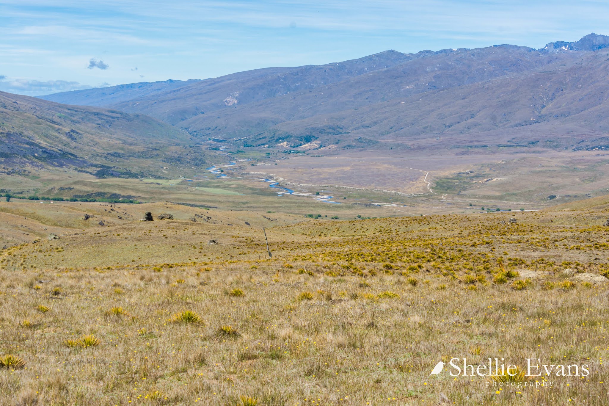
Back to catch up on the blog posts from our time in Glenorchy. Glenorchy is a small settlement at the top of Lake Wakatipu, 46kms from the bustling metropolis of Queenstown. It's the gateway to the Rees and Dart River Valleys and the famous 'Great Walk', the Routeburn Track which finishes just over the 'hill' on the Milford Road at the Divide, the last downhill section of the track being the
Key Summit Walk which we did when we were over that way. There are also a number of other multi-day tramping tracks in the mountains at the head of the lake.
We had two fine days out of six while we were in Glenorchy, so as soon as it cleared we were off to explore, to the end of the road on the south side of the lake. Kinloch is just a small settlement and even though it's just across the water from Glenorchy as the crow flies, it's 27kms by road, half of them gravel. The road crosses over the wide Rees & Dart braided rivers before heading up the lake towards Kinloch. These are the Richardson Mountains which form a beautiful backdrop to Glenorchy which is hidden in the far-away willows to the right.
On the road out of Glenorchy we have our first stop of the day to shoot one of my favourite subjects, abandoned farmhouses. It must have been very cold living here, it was late morning and the sun was about to disappear behind the mountain range for the day.
Historic
Kinloch Lodge, brought to life by Captain Richard Bryant in 1868, has a long association with the tourist industry. Before the road from Queenstown to Glenorchy was finished in the 1970s, tourists would travel to the head of the lake by steamship and stay at Kinloch Lodge before being transferred by horse or buggies, open topped cars and later the Bryant family buses (more on them later), to walk the Routeburn.
Across the road from the lodge is a DOC campground, I was keen to see if it was suitable for us to bring the 5th-wheeler to if we came back to the area. It's in a lovely position but with all the recent rain it was very boggy. The enterprising lodge offered hot showers for campers which is a great idea, although a little on the pricey side at $10. But I suppose those in sleeper vans who have been in the area for awhile would appreciate a nice long hot shower and afterwards they could partake in a coffee or lunch at the restaurant too.
The Lodge still hosts guests in the house and also has a backpackers lodge and rooms nearby.
And one more of the Lodge; restored in 2000, it's a great example of our early settler architecture.
The road to Kinloch was gravel and a little narrow towards the end but still fine for larger rigs. The next 12km section from Kinloch to the end of the road at Greenstone Valley is a 'backcountry' road with half a dozen fords and not suitable for anything larger than a small campervan...
...or grader! The only other vehicle we saw on the road.
But once out of the bush, the road is standard gravel with a few cattlestops to cross. The views are magnificent out across Lake Wakatipu.
One more cattlestop, a whole heap of sheep poo and some barking dogs in the distance indicated that we were getting close to Greenstone Station. The sheep were being rounded up into a paddock beside the woolshed on the small peninsula ahead of us.
We pass the Station and turn inland, ahead of us is the Caples River...
...and another DOC campground which is at the trailheads of the well known Caples & Greenstone Tracks.
Actually it's the trailhead and/or end, or both depending whether you do the tramp as a loop or join them from the Routeburn. Or even better still, from our favourite Mavora Lakes! It's hard to imagine that just over the mountains from here are the Mavora Lakes which are also part of the route for the Te Araroa Walkway, the mega walk from the top of the North Island to the bottom of the South.
We walk a short distance to the swingbridge over the Caples River, the first one we've seen (and we've seen a few) with a support in the middle.
As we're walking through the beech forest, a large bird swoops from behind, down over our heads and up into the branches nearby. It's dark in the forest but we're both pretty sure it's a native NZ Falcon
/ Kārearea and sure enough it dived again and then flew from tree to tree as we walked along. It was mostly just a dark shadow, but we catch sight of the feather patterns as it's watches us and then flies again. Checking to see who is in his/her territory. I bit like the falcon we saw on the Catlins River walk.
As we near the bridge I can hear the nearby Rifleman/Tītipounamu going to town, they are aware of it too. It flies out into the open and up into the high outer branches of a beech tree and sits there for a good couple of minutes surveying its patch. I manage to find a tiny gap in the branches and zoom in on it.
Finally, it swooped down over the river and up into the trees on the other side- left to right. David fails to locate it again with the binoculars but it's lovely treat to see, and we'll be able to pass on it's location to the Falcon Conservation group.
Our sightings are mounting up as we travel the country and in fact we've seen three in the space of a few days; this one, one high above the Top10 campground at Arthurs Point in Queenstown and one here at the canals- that one was a great surprise. It swept through from the bridge past the vans at mid door height with a dirty great rat in it's talons!
We head back to the carpark where I take this lovely shot as the cloud roll in, we sit on the tailgate and have a late lunch. Yet another stunning lunch break; dozens of Bellbirds
/Korimako are having a singing contest nearby, yet it's still very peaceful surrounded by beautiful scenery and sitting in the warm sun.
Then it's back along the road, through Kinloch, past the grader who's coming up the other side this time. We give him a cheery wave and he stops to have a chinwag with us. We see him a couple more times before we leave Glenorchy, he's grading all the back roads after the summer influx.
I'm hoping someone can tell me which peak this is, part of the Richardson Mountains behind Glenorchy. I'm guessing, but I wonder if it's Black Peak. I like the wisp of smoke down below, gives it some perspective- ETA, Thanks Melanie from Tauranga (see comments below), it's Temple Peak.
With a couple of hours of daylight left we decide to head up the Routeburn Road to check out a walk we'll do to Lake Sylvan on the next fine day.
It's not long before we come across a large flock of sheep wandering and running up and down and back and forward across the road looking quite stressed as cars and motorhomes push past in both directions. There's no shepherd or dogs about, and no open gates so we're not too sure why they're on quite such a busy road for the area. Perhaps they're grazing the long acre.
We stop at Weka Flat for a cup of tea as the sun drops down behind the mountains. A very cute and confiding South Island Bush Robin/Toutouwai pops up beside us willing us to scrape aside some leaf litter for him.
We weren't going to go as far as the end of the road, to the Routeburn carpark and track start but as it was only just up the road we thought we might as well. Just in case. Just in case we didn't make it back to do the short walk along the Routeburn River. I don't like doing this (but can't help myself) because usually it works out that we don't make it back later (as was going to be the case here) or we preempt the experience.
We have been to the Routeburn a very long time ago. We did a day walk up to the Routeburn Falls with a small tour group. Neither of us can remember much about it other than it nearly killed David on the climb up and me on the walk back down along the Routeburn Flats when our guide said 'don't stand on a slippery log' as we crossed a stream, and I promptly did and very nearly impaled myself on the jagged branch sticking up as I slipped, hit the log and fell into the stream.
I had to hobble back to the van, cold, wet and sore. And when I got back to our hotel and took my trousers off, my leg, from ankle to arse was bright blue! A huge bruise where the branch had scraped up it. It wasn't until I looked closer that I realised that most of the blue was dye from my wet trousers! Thank God for that, although a large bruise did appear the next day.
Back then this was the only shelter at the carpark with the swingbridge nearby, it's now a day shelter/picnic area and the bridge has been moved further down the river.
And this is the flash new information shelter and toilet block.
There are a number of large panels with lots of useful information about the history of the Routeburn, what to expect from the walk, maps and mountain information and native birds you could see along the way. It was great to see a familiar sight in amongst the history; the Bryant buses, that were used to carry visitors from Kinloch Lodge to the track. These are the same buses that
we've had the pleasure of riding in on both our visits to the Arrowtown Autumn Rally.
We headed back down the road where the sheep were still causing problems. It's amazing how people, and I'd say most of them would be overseas drivers, react to the unusual (for them) sight of a flock of sheep on the road. Some stop dead, others speed through, sheep flying out either side as they make a dash for safety, some toot their horn, others swerve all over the road trying to get past the ones running ahead of their car.
The poor sheep were puffing and panting and trying to break through fences into the paddocks. We still didn't see a farmer although we passed a farm vehicle turning into the road so hopefully he did something about it or alerted someone to the problem. If they were let out on purpose to graze the roadside, it's wasn't that great an idea.
We headed back over the Dart River, along the base Mt Alfred/Ari which separates the two river valleys, back over the Rees River, along the bottom of the Richardson Mountains and...
...home to 'Out There', parked safely along side the Glenorchy Hotel.
This might be the last blog for awhile, we're on the move again. The sun is shining, the snow is low and the forecast is for fine weather for the next few days so we're heading off to West Coast, exploring Haast Pass along the way.
And that big salmon with David's name on it? It managed to live to see another day- he hooked it last night and it put up a good fight for five minutes or so before it broke free. I think David was secretly happy about that, he just can't shake his 'catch & release' philosophy.