Here's the blog I promised, check the difference out between my last blog from the Ahuriri Valley in winter against the valley in January this year.
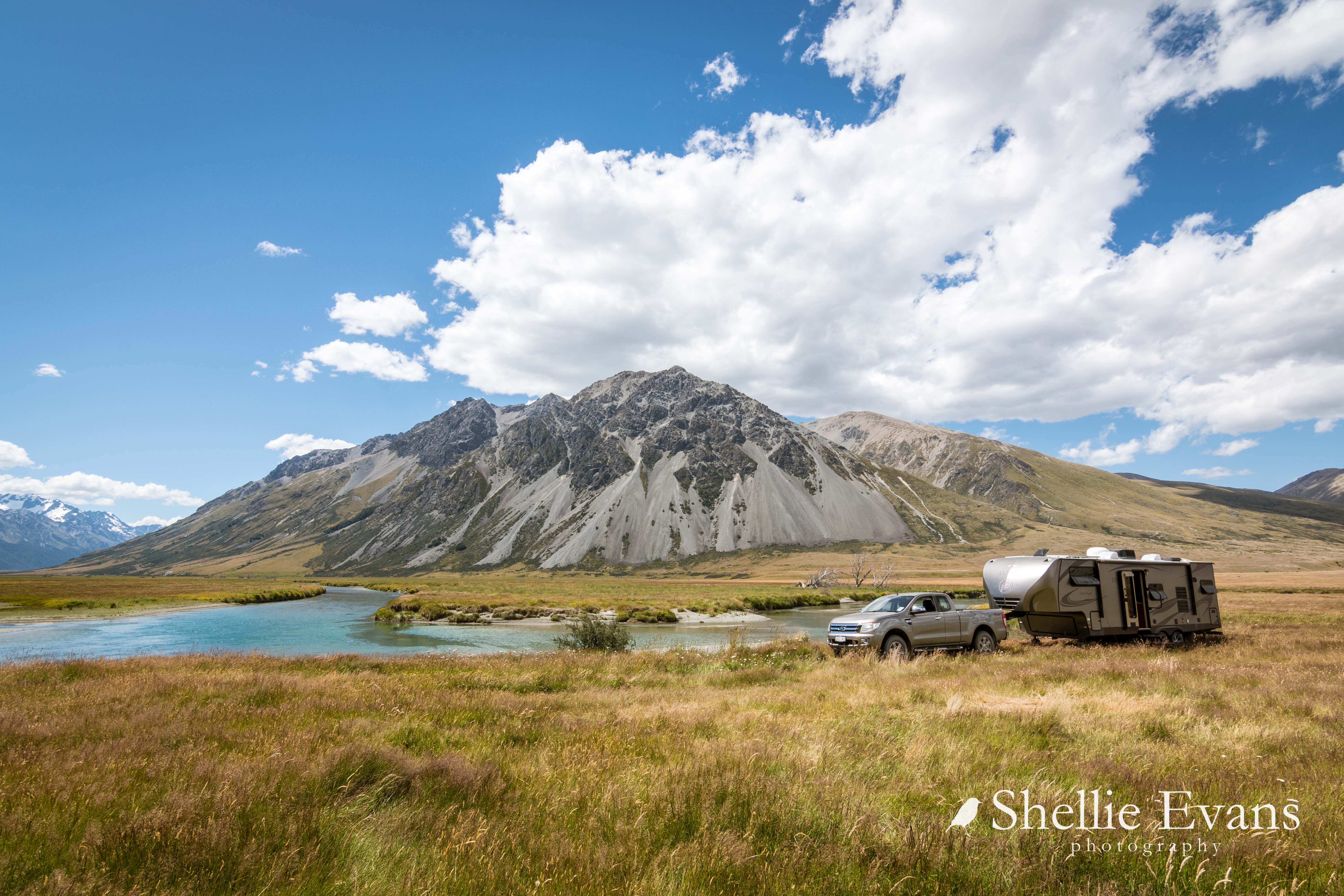
Before heading up the valley we stayed at NZMCA POP #8135 (park over property), one that I've wanted to stay at for awhile but one we seem to fly past in either direction, on our way further south or keen to get back into Mackenzie Country.
 |
| Longslip Station POP- all on our lonesome |
 |
| Ahuriri River, Copper Butterfly |
The weather was perfect; blue bird days, calm and very, very hot. David had the right idea though. Can you see him under the 5th-wheeler's nose? He's in the shade, sitting at the picnic table flying his drone & watching its progress on his iPad.
Although the river looked inviting for a swim, it was actually very swift flowing and it wouldn't have been very relaxing trying to stand upright & balance on the rocky bottom. There were a couple of backwash areas where I could have dipped my toes but they didn't look as inviting.
Although the river looked inviting for a swim, it was actually very swift flowing and it wouldn't have been very relaxing trying to stand upright & balance on the rocky bottom. There were a couple of backwash areas where I could have dipped my toes but they didn't look as inviting.
Every now & then we'd look up and watch a cloud of dust swirling along Birchwood Road. I know David was thinking to himself 'bloody hell', we've got to travel down there in a day or so. He'd also be wishing for a light sprinkling of overnight rain to dampen it down.

His wish wasn't granted though. The sun set each evening over a cloudless sky.

There was also an ulterior motive behind our stop at Longslip Station. I've had a nearby 4WD loop track on our 'to do' list for a long time. The track is located at the far back of the valley on the east side of the main highway between Omarama & Birchwood Rd, in between the Wether & Ewe Ranges. What is more interesting to me than anything else is the fact that from the track start point it's just 25kms over the mountains to St Bathans in Central Otago. Whereas by road it's about 200kms!

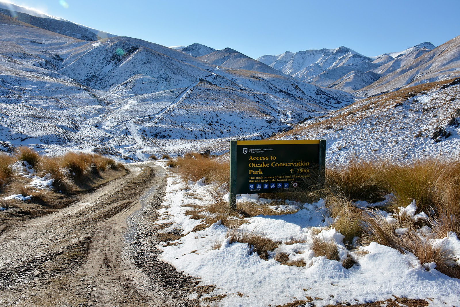
The West Manuherikia Track crosses the Omarama Saddle, and if you take the loop back on the East Manuherikia Track, you'll cross Little Omarama Saddle at the tail end of the Hawkdun Range. At the other end, the tracks come out in the Manuherikia River valley & Hawkdun Runs Road right below the Hawkdun & St Bathans Ranges. This is where we couldn't finish the loop track when we did Falls Dam & the Home Hills Run Road last year.
I had read it was better to do the West track first & return via the East track which was a lot more gnarly. There were several guys in the carpark (a paddock) off loading their trail bikes from a trailer as we headed through the farm gate & straight into a rough farm section around the edge of a hill.
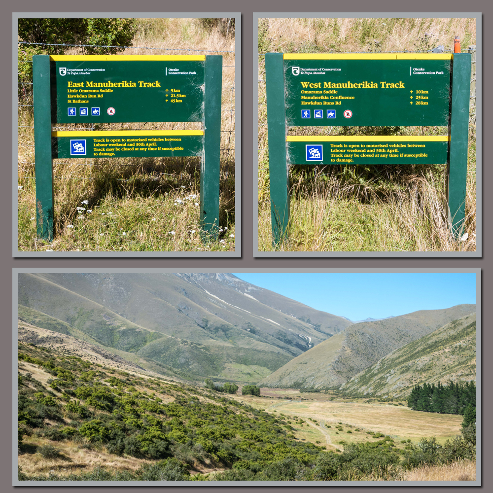
We were heading to the break in the mountains at the back of the farm flats. The 5km farm track turned out to be quite rough & rutted in places & had a couple of swampy sections to cross. Our progress was watched with interest by cattle & calves who took off into the scrub bucking & twisting with tails flying as we got near.
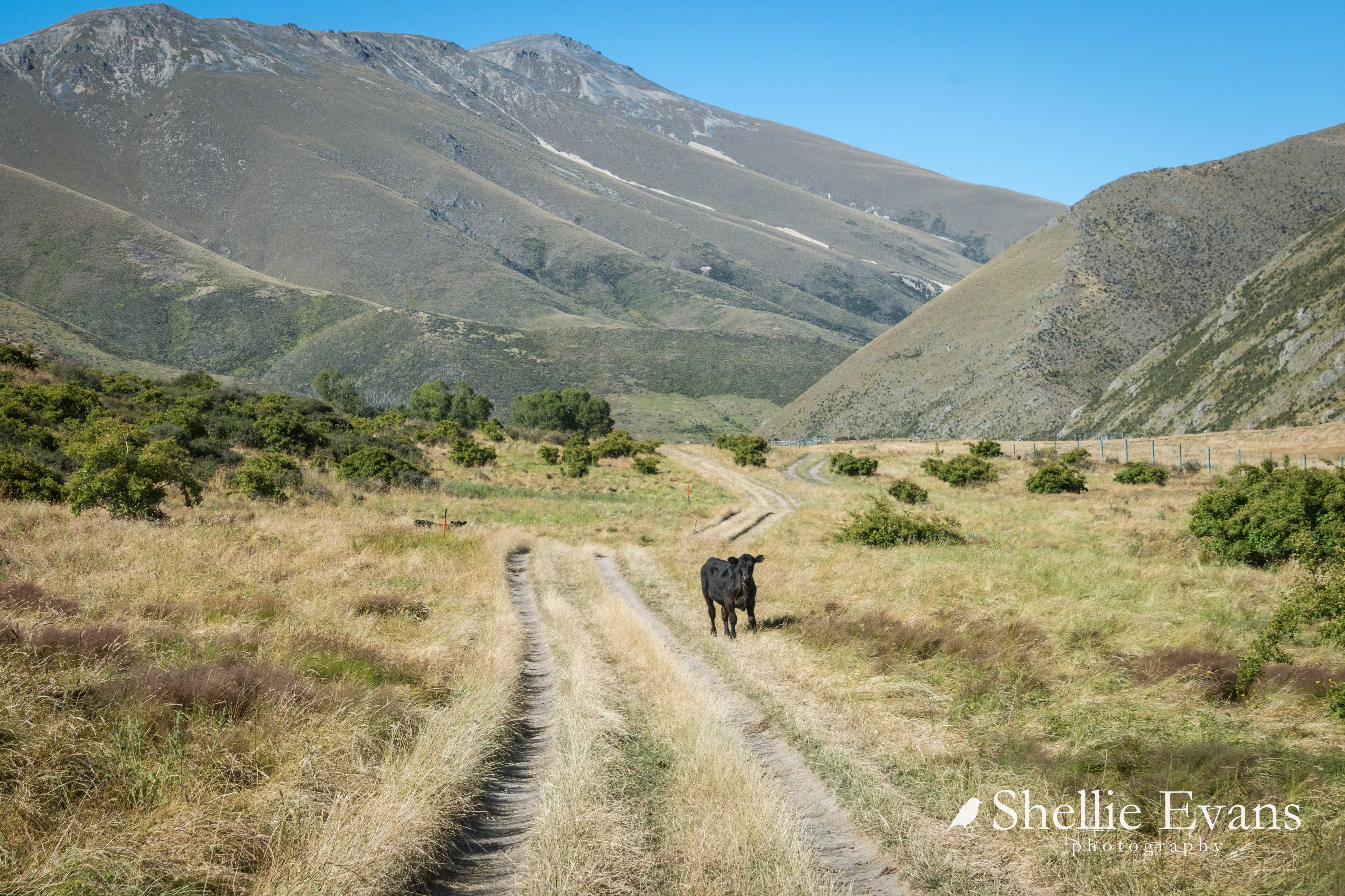
Eventually we reached the boundary gate opening into the Oteake Conservation Park & the track proper. The Oteake Park is a huge conservation park that stretches from Dansey's Pass in Central Otago through the Ida Range, all the way along the Hawkduns & down into Canterbury and including St Bathans & St Mary's Ranges on both sides.
We drove along the dusty track for a kilometre or so until we came to start of the climb up and over the saddle. It looked pretty narrow & we couldn't see around the first corner. David was worried we might meet someone coming down & wouldn't be able to pass, so I walked up to the corner to check.

And it was borderline, not only were there several more corners ahead, the track was very narrow & deeply rutted in places, areas where we could belly out & get stuck (and I know in the photos it looks reasonably ok, but photos never do the actual condition of the tracks justice). It was touch & go and in the end we decided it wasn't worth the risk to go any further. The ute tows our home & any damage or problems with it & we're stuck where we're parked. This time the 'shiny' wasn't going to get through.
While we were discussing the track the trail bikes flew past us, up and over the bank down the other side weaving up the track they went. And then after we'd turned around, a couple of heavy duty 4WDs passed us. We waited at the gate to see them head up the track (bottom right photo). One vehicle appeared first and stopped & then it took a long while for the 2nd one to pop out from behind the hill, although we could see his front through the binoculars, he wasn't moving. We couldn't see what was holding him back but he seemed to bounce out when he did get free.

Resigned & disappointed that we had to turn around, & now with a packed lunch going spare, we drove to the Omarama Aerodrome where we sat on the tail gate eating our lunch & watching the gilders coming & going.

Omarama Aerodrome is world famous for gliding, it not only has the perfect soaring conditions, it has some breathtaking scenery. The airfield is usually busy with gliders on weekends but we didn't expect quite so many. I found out later that there was a youth glide camp on.

We especially enjoyed watching the gliders take off on the far side of the field. These gliders were attached to a bungy cord (well, I call it that anyway).

Beyond the far end of the runway, about 2 kms down, a huge hydraulic winch wound the line in pulling the glider into the air until it was high enough to let the tow line go and the line would fall back to the ground while the glider continued on its flight. A small truck would then race down to the end, grab the line and drag it all the way back up to tie it on to the next glider. I wanted to know who the brave person was that tried this out the first time!

The next day it was time to head up the Ahuriri Valley. On a more sedate '4WD track'...

...but with double the amount of dust!

The valley looked stunning on a warm summer's day, unlike the snow & ice we had on our last visit in July. There'd be no problems getting to the top of the valley at this time of the year.
 |
| Ahuriri Valley; The Lindis sculpture; Ahuriri River |
Here are a couple of comparison photos taken not too far before our destination at the DOC camp. The first taken in early July last year...

...and the following one in mid January, 2022. You can now see that the puddle in the middle of the road has dried out and it's not that deep. During winter everyone heads to the outside (including us) because they can't see the depth. It's actually more boggy on the sides and the ruts start to get deeper & the mess larger. And all the while, through the centre has a gravel base and would be fine to drive through!

Once through the last cattle stop and into the Conservation Park we followed the track down to the side of the Ahuriri River & our usual parking spot in amongst the thick tussock.
Any thought of setting up camp was lost when we looked over the edge into the river & right there below us was this big beautiful Brown Trout! We thought he'd shoot away as soon as he spotted us but he had no interest in us and carried on circling in his pool and sucking up any insects that were swirling in the eddy; including a poor ladybird in the bottom photo.

He was swimming around the pool every time we looked out for the next couple of days, but sadly on the third day, after we returned from a walk further up the valley, he was gone. There were two fly fisherman just up the river and I'm sure because we weren't at the van, they would have fished in the pool below us. We hoped they might have been 'catch & release' fishermen but the trout never made another appearance.
Once the sun dropped behind the mountains, the temperature dropped a little & clouds spiraled in over the valley.

One last vehicle headed out just on dusk and we were the only ones left in what seemed like a vast wilderness with just the sound of the passing river for company. Total bliss!

Sunrise was beautiful the next morning.

After a day relaxing on what was one of our hottest days this summer (and me having my first swim of the summer; the water was breathtakingly cold), we headed further up the valley to complete a walk I'd attempted to do back when we visited in winter.
This involved several familiar photo stops on the way. Every season is different and with this being one of my favourite views, I had to have a summer photo overlooking the large wetland beside the Ahuriri River with Mt St Mary in the background. The 4wd track we're following is on the right skirting around the edge of the wetland.
.jpg)
And this one (a fav) was taken a few years ago in the middle of winter, I love the contrast between the bright green ribbon of water, the dark grey scree slopes and the rustic tussocks.

This one is the summer view up the valley...

...and this one from our visit last winter (click photo to enlarge)

The 4wd track was of course much easier to travel although there were a couple of curly sections towards the end where washouts and gravel slides have passed through. Once in the carpark we headed off on the 3km track to Canyon Creek.

And here's the same track I attempted to walk back in winter. Then there was a river of water flowing along the track under a layer of ice & snow. I gave up after a couple of hundred metres or so.

This time instead of ice & snow we had long grass & hot weather. Canyon Creek flows out of the canyon on the right side of the mountain ahead but the track enters the bush on the left hand side and then climbs around the front and up above the bush line in the canyon.

The track was easy going although we missed a DOC marker pole (as had several others going by the tracks that crisscrossed each other) and headed out over the gravel banks which also meant we had to cross several streams before we found ourselves back on the correct track running along the edge of the bush...

...until we finally reached the bottom of the mountain. The track crossed the stream and headed up into the bush at the DOC orange triangle ahead of us. But unfortunately- because I know there are some magic views of the canyon higher up the mountain- this was as far as we were going today. I had a bung knee on the mend and I didn't want to aggravate it.

We had our lunch beside the stream, did a little bird spotting and then headed back down the valley.

It was a long hot walk home and I wistfully eyed up a couple of bikes I spied 'hidden' just off the track. We later spoke to the couple who owned them, one had been up to the top of the canyon and further on to a small hidden lake high in the mountains. He'd stayed overnight there and said it had been rather hard going & he'd been a bit worried about some of terrain he'd had to cross. His partner had tramped up the Ahuriri River to one of the huts and stayed there.

At the end of each day the fishermen, trampers & day trippers headed off back down the valley leaving us to our solitude.

David did a bit of fishing each day. Could there be any better location to fly-fish? Here in front of Mt St Mary.

He had a few strikes including one very large fish that managed to release itself; maybe it was our friendly Brown. We hoped so.
.jpg)
After several days of hot sunny weather, the forecast for the following few days was for heavy rain...
.jpg)
...so we made the decision to head off before it arrived and not have to battle mud & rain on our trip out of the valley. Big fat rain drops started falling just as we pulled out.