Showing posts with label battery. Show all posts

Sunday, April 12

Quartz Reef & Bendigo Historic Goldfields- Part 2

Catch-up

Continued on from Part 1

Further north along the range from the Quartz Reef Point tailings are the Bendigo Goldfields. The Bendigo Historic Reserve is a very large area and was made up of several small towns that sprung up on the lower slopes of the range as gold was discovered in the mid 1860s.

An old horse cart & Logantown ruins
We visited the very north end of the reserve when we drove through the Dunstan Mountains on the Thomson Gorge 4WD Track back in 2015, exploring the remains of the Rise & Shine and Come in Time Reefs and the restored ten stamp battery that is there. It was late in the afternoon when we exited the Thomson Gorge Track at Tarras so we decided we'd explore the rest of the Bendigo diggings another time. It's taken awhile but finally we're checking them out.


The road up to the top of the Bendigo Reserve is short and quite steep in places, it passes by the old Bendigo School site and finishes at a carpark in an area that was once known as Welshtown. During the 1860s Welshtown was a residential town which was supported by businesses in nearby Logantown at the bottom of the range.

Looking towards Wanaka, through that gap in the mountains at the back.
The views out over the Upper Clutha valley are wide & far reaching; vineyards and farmland fill the valley from the Pisa Range on the left to Lindis Pass and the Hawkduns at the far right and out of shot. I zoomed in on the interesting shaped effluent/irrigation pond on this dairy farm, not only an interesting shape, but it's huge!


There are quite a number of stone ruins left in Welshtown including a cottage whose walls are relatively intact. Many of the houses here were made of corrugated iron, these are long gone and they weren't necessarily left to deteriorate either. They were easy to dismantle and cart off to the next gold rush.


The size of the cottages is amazing though, some only had enough room for a bed & the fire and that's about it. I guess the men were working the gold fields most of the time and only needed a place to rest their heads overnight.


Families would have lived in some of the larger cottages including this house that belonged to the Pengellys, a prominent mining family in the district.  Can you see the remains of the house in the photo above? (click to enlarge) A close up is in the the photo below, top left. 


There are several walks of varying lengths that leave from the Welshtown carpark in all directions. I take the 1km Welshtown Matilda Battery track through the kanuka scrub heading downhill past grated mine shafts and the remains of several stone buildings including the Blacksmiths store (above, bottom right). 

Matilda battery
The twenty stamp Matilda Battery site opens up at the bottom of the track with a mine shaft and numerous stone foundations including a chimney still standing. In front of the battery are the remains of the mine office and further up the slope are the ruins of several small stone huts where miners working on the battery lived. There's also a collection on the office window sill of broken glass and metal bits & bobs that people have found while fossicking around the site.


It was getting late in the afternoon when I got back to the carpark and I really wanted to walk the 4km Aurora Creek Track but decided I'd come back later in the week to do it, then I wouldn't have to rush and David wouldn't have to wait around for me. But in the end he did come back with me- as my chauffeur- I left him in the Welshtown carpark and headed off across the gully...

The carpark, Welshtown ruins and a snow capped Pisa Range behind.
...around a ridge, through a large open area with masses of vegetable sheep...


...before entering the kanuka scrub and heading downhill. Once again the views out over the valley are magnificent.


It's not long before I reach Aurora Creek and the rocky gorge it flows through.


I find a gap in the rocks that overlooks the gorge and I can now see the old dray track that crosses the creek on a stone causeway which was built in a hurry and by hand in 4 months.


Once across the causeway the track starts to head down the range to the bottom of the gorge but not before it passes through another wide open space known as The Ballroom. 


On the 4th February, 1870 over 300 people made their way here from Welshtown & Logantown to celebrate the opening of the new 10 stamp Aurora Battery. After speeches, champagne & salute firing the crowd moved to the open air ballroom to dance the night away to the sound of violins with a warming fire burning in the purpose built fireplace.


I carried on along the track, which wove back and forward down the side of the hill alongside the gorge, stopping to take in the views whenever there was a rock platform or a gap in the scrub.


More ruins appear on either the side of the track as I near the bottom of the gorge.


And then the track disappears under the kanuka bush and down into the bottom of the narrow gorge...


...where there are a lot more stone ruins on both sides of Aurora Creek.


From the creek-bed the track heads along what once was the main street of Logantown...


 ...past the remains of at least three hotels, a butchery, bakers and more miners huts...


...to finally end at the old horse cart. And where my chauffeur is happily waiting for me. This saves me the walk back up the steep incline to the Welshtown carpark. 


We then head off back down to the loop road and home to Cromwell; Bendigo Goldfields done & dusted.



Tuesday, August 1

Godley Head Defence Site, Christchurch

Catch-up

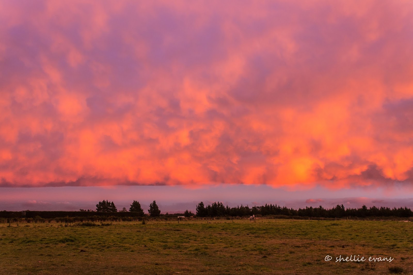
From Lake Opuha we headed to one of our regular NZMCA Parks; Weedons on the southern boundary of Christchurch city where we were welcomed by a number of stunning sunrises. 


This was one of the sunrise views looking south, away from the rising sun. It was quite strange with a distinct band separating fluffy cloud from the blue sky beyond.


Of course spectacular sunrises are usually followed by an overcast or rainy day and so it was the case for most of our time in Christchurch. 


We've visited Christchurch numerous times but usually use our stay as a rest period and to catch up on chores in the city. I was hoping for a sunny day when I headed off to explore Sumner Beach, a coastal seaside suburb 30kms away on the eastern side of  the city and also to do a tiki-tour to Godley Head and travel the Summit Road on the Port Hills overlooking Christchurch.

Sumner Beach & Cave Rock
It was not to be though, instead a smoky haze hung over the city on a bitterly cold day. At the top of a short steep drive up Evans Pass Road, I stopped to take a photo overlooking Sumner below and across to South New Brighton and New Brighton. You can see the New Brighton Pier poking out into the sea in the middle distance.


The views along the Summit Road are spectacular, so close and yet so far from the bustling city below. I'm heading to Godley Head Park at the tip of the northern side of the entrance to Lyttelton Harbour. It's a 10km drive from Sumner to Godley Head and while the road is narrow, it's sealed all the way and not a particularly difficult road to drive; just don't get distracted by the views, it's a very long way down. And watch for oncoming traffic, it's mostly one way.

You can see part of the road cutting along the top of the hill in the photo below. There are a couple of sharp switchbacks in the Evans Pass Road that you'd need to watch in a bigger vehicle- we wouldn't probably be able to get our fifth-wheeler around them. 


I stopped often to take in the views. In the photo below one of the many walking and mountain bike tracks that criss-cross the Port Hills can be seen, this one is between Godley Head and Taylors Mistake. Across the secluded Taylors Mistake Bay are the earthquake sacred cliffs of Scarborough Hill and beyond that, Sumner Beach. 


The road weaves its way from one side to the other along the top of the headland, this is looking down into Lyttelton Harbour on the inside, the port and township of Lyttelton are tucked around the corner at the far right. The harbour entrance is to the left and across the water is Diamond Harbour.


Godley Head is the most complete WW11 coastal defence site in New Zealand today. It's now a public park administered by DOC (Dept. of Conservation). Click on the photos to enlarge if you'd like to read more.


The plotting room, miniature range & engine room buildings are still located on the hillside above the entrance to the harbour.


It really was a bitterly cold day with what I'm sure was a sub-zero wind chill factor, so it was a surprise to see people as mad as me visiting the park. I passed a guy carrying a load of photographic gear on my way down to the buildings. He told me he'd been doing a photoshoot, I found his model still at the buildings, she was taking a few selfies herself, and freezing in the process. 


I've included a photo of each of the buildings with their information board because I know there are a few people out there who'd like to read about the background (remember to click on the photo to enlarge).

The Battery Plotting Room-


The latrines would have had the best views in the whole base-


The Engine Room- 


This was the most fascinating building, like a big boys game of Battleships (which I guess it was)
The Miniature Range-


Back near the carpark were a collection of hatches, pipes and shafts-


Perhaps one of my readers will know more about these- 


Further towards the tip of  Godley Head and overlooking the ocean are the remaining buildings from the Military Camp. It is also now a DOC Camp and would be a great place to stay in the summer, especially with all the walking and biking tracks that weave their way up, down and over the headland. Bookings are essential; once your fees are paid you're sent the combination number for the lock on the gate. Dogs on a lead are welcome too. 


 I walked down to the handful of buildings; some are well looked after, others not so much.


The battery compound was closed off, the two photos of the small grey gun emplacements above are part of the compound that I took through the fence.


I also took this photo (black & white) looking across the Lyttelton Harbour entrance to the headlands that form the north side of Banks Peninsula.


Back in the ute, with the heater turned up to full, I headed back towards Evans Pass Road (the lower road) but carried on along Summit Road. Can you can see a small white dot? That's a car coming down the road. 


I stopped a few more times to take photos, the haze over the city hadn't improved but the wind had picked up considerably. The Avon and Heathcote Rivers flow through the city and empty into the estuary here.


With so many walkers and bikers in the Port Hills I'm sure this is a welcome relief to passersby. Supplied courtesy of a resident on Summit Road.


I was hoping to drive right along the Summit Road and drop down into Lyttelton but it was closed beyond Mt Pleasant Road so I drove back down to sea level and headed home (I believe it was closed initially because of the earthquake but now permanently, to allow a safer environment for bikers and walkers in the area).