Saturday 27 May 2017

A Magnificent Sight- The Southern Lights

Catch-up 

STOP PRESS- Please note this blog is about the aurora that I captured back in April, I was lucky enough to see the magnificent aurora that hit our skies two days ago on Sunday night (28/5). The photos from the latest aurora will blow you away! I'm working on that blog at the moment so check back soon.

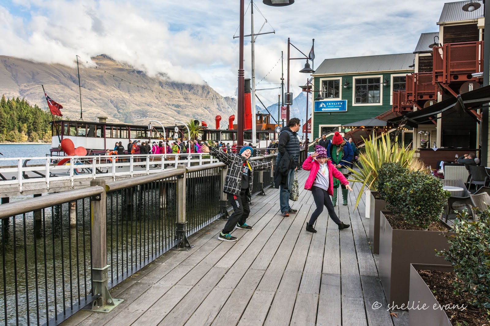
From Queenstown we followed the family back to Winton to spend some time with them and it's where we've been, parked up in their driveway, ever since. Two days after arriving all the bells, whistles and alerts went off on my Aurora Australis Facebook page to say that due to the impressive solar activity happening around the sun, a massive aurora was about to hit our skies. Perfect timing! And in fact it turned out to be the best night of activity since the St Patrick's Day Aurora in 2015, over two years ago.

By 9pm on the night it was due, the Facebook page was being flooded with alerts and quick screen grabs from the back of cameras as members let others know that Lady Aurora, the Southern Lights, had arrived. I drove off into a pitch black moonless night following my compass needle as I crisscrossed the countryside looking for a clear view directly south with no light pollution. It didn't take me long to realise I should have done a recce trip during daylight hours as I turned left, right, left and right again as I reached the end of roads. 


I've also come to the conclusion that chasing an aurora all over the countryside in the middle of the freezing cold and very dark night is the easy part! Processing the photos is ten times harder. It's a bit like being a magician, everyone keeps their techniques to themselves once they've mastered the process. It's been bloody hard to work out the right processing to apply to my RAW files to get my photos looking even slightly like some I've seen on the Aurora Facebook page.


There are specialist programmes that help and obviously if you're obsessed chasers (as some are) then you'd have these programmes. I don't, so I did the best I could with the little bit of information I had gathered together from the internet. In the end I could spend no more time trying to fine tune the photos- I mean, I know I have heaps of time but these took way too much of it to get looking anything like what I've seen. Enjoy them anyway!


Once I'd weaved my way past numerous hedgerows, shelterbelts and lights from farm houses, a spectacular sight opened up before me; pale coloured pinkish light beams danced across the sky with a faint green glow at the base. 

I turned off the sealed road and onto a narrow gravel road and pulled up. I quickly set up my tripod and camera, luckily I had preset my settings as much as possible before I left because even with a head lamp, it's very hard to see things in the total darkness. I then clicked away using different shutter speeds ranging from 5 to 25 seconds, which also meant I was able to watch the magical spectacle playing in front of me while I waited for the shutter to close.


The lights danced across the sky, bouncing back and forth and reaching high up into the heavens and while I couldn't see the outline of the clouds (like here in the photos) with my naked eye, I could see that there was something blocking the show low on the horizon. Unfortunately in the deep south the clouds spoilt a clear view, further north in the MacKenzie and around Dunedin, they had a clear sky. 

Also, as you can see in some of the photos above, a few cars interrupted the darkness as they drove towards me.


These two photos (above and below) have been processed a little too heavily, the beams are more red than they should be, 'correctly' processed they would be a cerise colour. 


The light beams stopped playing after a time although the green glow shone bright and clear. I thought I'd carry on and see if I could find another dark place. I headed back towards Winton and turned west again finding the one and only bridge for miles to cross to the other side of the Oreti River. I hadn't allowed for the fog that lay thick over the river and was now tumbling out and over the farmland and nearby roads. I had to drive for quite a distance before I had another clear view south.

And that's when I spotted a huge beam pointing towards the heavens. 'Bloody spot light' I thought, as I turned onto another dark gravel road, with the beam shining bright, dead ahead of me.    


I soon found out (by checking the aurora Facebook feed on my phone) that it was no spotlight, that it was a rare and very visible proton arc. Proton arcs are caused not by electrons but by more massive protons that bombard the Earth's atmosphere following an energetic event on the sun.


The arc is a beam of light separate from the usual dancing lights of the aurora and as you can see in the photo below it was quite a bit west of the actual aurora, one of the reasons I thought it was a spotlight. It was also so black 'Out There', a spotlight made some sense. And while you're looking, how awesome is that night sky with millions of tiny stars twinkling away.


I waited for a short while to see if the aurora beams started playing again. The fog soon caught up with me so I headed north up the sealed road and away from the approaching fog. I had a vague idea of where I was and knew that eventually I'll meet up with the Ohai road and be able to head back into Winton from the north end of town. Once I cleared the wisps of fog I stopped again to check the lights, taking a few shots and waiting patiently for the beams to re-appear.


I had no idea I'd parked beside a paddock full of munching, mooing, burping, farting, peeing and plopping cows! Have you any idea how often they pee and poo, it was continuous and this was 11pm at night, don't they sleep? I also wondered how they manage to find clean grass to eat around with so much poop on the ground. 

I was there for about 10 minutes and the noises never stopped. It's really weird when you can't see the cows but can hear them breathing and snorting right beside you (it's as black as the ace of spades out there, hard to believe when you look at these photos). Some of them must have come up to the fence to check me out. If you look closely at the photo below you can see cow shapes in the paddock.


With no beams and the fog approaching again, I headed towards Winton, back over the Oreti River and then down a back road along the rear of the town. And that's when I saw the beams dancing across the sky again. Beams like these are known as the 'Picket Fence'. I turned up another quiet road just out of town and quickly found a reasonably clear view across the paddocks. It wasn't until the next day that I saw where I'd parked, across from the settlement ponds at the waste treatment station! No wonder there were no houses nearby!


Unfortunately it's not as clear a view as I thought. I forgot that my wide angle lens takes in far too much area, not only ahead of me but above me too! There is no excuse for having powerlines in a shot, I should have checked above me with my torch. But I was just too keen to get some shots before the beams stopped dancing again. 


But still, I'm happy, it was an awesome experience and I finally manage to capture the Lady of the Lights playing and watch the spectacle too. And all in much more detail than my first viewing at Tairei Mouth back in March. It's just a pity she hasn't made another appearance or two during the last 5 weeks while we've been here in Winton.


And to continue with the theme of bad processing, here's a very short movie of the lights 'playing'. These were consecutive photos that I made into a short (blink and you'll miss it) clip so you can see how the beams dance across the sky. And remember I did say bad.


Just an update also on the email subscription glitch - I'm still having issues, but at least some of you are now receiving the email notification (welcome back to those that thought I'd gone on holiday.....wait.....I am on holiday, one long holiday!) But I'm aware that a few are still not receiving them, so I've added a new bit of programming to the feed 'string' for this blog and I'll see where that goes once I post the blog. Bear with me.


Thursday 25 May 2017

Email Subscription Glitch

Real-time

I'm having some annoying fun and games with internet technology companies lately.

Now I find out that some (most probably all) of my blog subscribers have not been receiving their email notification each time I post a blog. And that the emails updates have been missing since the beginning of the month which means many of you have missed out on some great adventures.

I actually have a subscription to my blog too, so I can see if it's working or not but unfortunately I also get sent an email as the blog owner and somehow I've overlooked that I stopped receiving the subscription email. Luckily I have a few subscribers (thank you) who alerted me to the problem.

So for the last 3 days I've been following a few leads and trying to sort it out, with mediocre luck so far, although some of you did receive an email this morning with a list for the last three blog posts. This was after I did a little bit of programming to the feed link (no, I don't understand either, I'm just following a few suggestions I found on-line).

But I need everyone that has subscribed to receive an email so I'm still working through it and waiting on replies from a few of Mr Google's forums.

Of course, if you don't get an email letting you know about this blog post you're not going to be any the wiser that I have a problem either. But just in case you happen to think- 'Hmmm....I haven't seen any of those fantastic blog posts from Shellie lately, I might just visit the blog to see if she is still working her butt off", then you'll know she is and no she hasn't forgotten you.

And if you're one of the ones that has missed the last few alerts and want to catch up, look out in the right hand column of the blog and find the month of May, all May's posts are listed beneath the May heading.

Feel free to add a comment below to let me know either way if you have or have not had any notifications recently.

Thanks for your understanding and hopefully I can resolve this problem soon.


Monday 22 May 2017

The Lady of the Lake- TSS Earnslaw

Catch-up

The family decided a trip on Lake Wakatipu was in order to show our visitors from Australia some of the beautiful scenery surrounding us. It was a pity the weather wasn't a little more conducive to standing on the decks admiring the view instead of being tucked up inside cocooned by the warmth generated from the boilers of the steamship TSS Earnslaw.


This actually didn't worry me too much. I found it far too warm to stay inside for long anyway and had most of the various decks to myself as I moved about taking photos and watching the world go by. 


We waited patiently at the wharf for the Earnslaw to arrive back from her previous tour...


...which gave me a ample opportunity to shoot her as she did a big loop in close to the Queenstown lakefront.  


...before filling my lens up as she swept in beside us.


Click on the photo to enlarge if you'd like to read about the history of the 'Lady of the Lake', a 1912 Edwardian vintage twin screw steamer.


We board and find ourselves a family table inside where we can leave our gear and at least a couple of people each time we go walkabout. All available seats are soon taken, everyday's a busy one in Queenstown. Do you think this lady actually understands what's written on her cap?


A couple of jet boats were heading off for a rip-roaring ride down the Kawarau River and a smaller cruise boat was also leaving the wharf as we pulled out...


...along with this speedy little guy from Hydro Attack. Queenstown is the only place in the world where you experience a thrilling, adrenaline filled ride inside a 6 metre long semi-submersible shark (tin can) travelling at 80kph, twisting and turning across the lake before diving and then exploding out of the water in a great burst of spray. It'll only set you back $149 for this once in lifetime experience (and a sore back)!


We leave Queenstown behind...


...heading for Walter Peak Station across the lake where we'll collect people who have been exploring the station earlier in the day. Some on board will also be disembarking to do one of the several farm or bike tours around the farm and/or stay on for a BBQ dinner. We'll stay onboard, we're just doing the round trip.

Cecil Peak is the prominent peak on the left, Walter Peak is further back along the range.
 As you can see I have the rest of the ship nearly to myself; there's a museum room in the bow and a gangplank walkway through the engine room where you can also watch the crew stoke the fires. Coal is hand shovelled at the rate of one tonne per hour at full speed!


Here's the stats on the engine room (remember to click to enlarge)...


 Approaching the historic Walter Peak Station. Walter Peak became a high country sheep station in 1879. Scottish immigrant Hugh Mackenzie and his wife Anastasia had six sons and two daughters and lived in Scholan house (still behind the current homestead).


The original Colonel’s Homestead was built in 1908 for one of the sons who became a Colonel in World War 1 and was the last McKenzie to remain at Walter Peak; finally selling out in 1960 when his only son showed no interest in farming. The homestead was first used to host visitors for morning and afternoon tea in 1969 when a launch arrived twice daily from Queenstown. 


In 1977 the homestead was destroyed by fire. It was rebuilt with a similar exterior but the interior was designed on a much larger scale, with a variety of rooms suitable for entertaining. 


In the late 1960’s 'Real Journeys' tour company bought the TSS Earnslaw and in 1999 the company took over Walter Peak High Country Station. 


Walter Peak Station is now an iconic destination for visitors from all over the world, and going by the length of the queue to re-board the ship when we arrived, it's a very popular attraction at that.

And, we have just joined another couple of travel dots by cruising across the lake. David and I are very familiar with this scene of people queuing to get back on board. We visited Walter Peak Station by road from Mavora Lakes, back in 2014- a very long road with some breath-taking scenery. The Earnslaw was preparing to leave just after we arrived. Once the queue of people had been checked back on, one of the crew called out to us quite sternly and told us to hurry up and board as it was the last sailing of the day and we'd be left behind. He didn't quite believe us when we called back that we'd driven here. You can read that blog here.


The ship ties up at the wharf and while we wait for everyone to board I take a photo of the ship's pilot house and funnel with Walter Peak high up behind. Who should be surveying the scene below from one of the best advantage points? Ruby our granddaughter, there are no flies on her.


It doesn't take long for passengers to disembark and board and we're off again, heading back to Queenstown.


We pass close to the Queenstown-Glenorchy Road and the exclusive settlements that overlook the lake south of Queenstown. This is Ben Lomond Range with Bob's Peak on the left (which is actually that pointy point and not the hill in town with the cable car that everyone refers to as Bob's Peak). Moke Lake, where we've stayed at the DOC camp, is just behind Bob's Peak.


Ahead of us are the hotels and city centre with many properties layered up the steep side of Queenstown Hill behind...


...and looking every bit like the alpine resort town it is.


We offload as the next lot of visitors queue to board the Earnslaw....


...and next door, the river jet boats.


The kids do their comedy duo act as I try to take photos...


...and we wander back along the waterfront...


...and buy an early dinner at Erick's Fish & Chips, which we take back down to the waterfront to eat (and freeze). 


Poor Ruby loses half of her's to some cheeky duck!  


Thursday 18 May 2017

A Remarkable View

Catch-up; we're still parked up in Winton with the family. We've been here a little longer than expected (4 weeks today) and winter has finally caught up with us with a very cold Antarctic blast blowing through the deep south this afternoon. I'm looking forward to seeing some snow soon, either here on the ground or when we eventually hit the road again. In the meantime thank God for diesel heaters and the family's power point; the electric blankets are heaven on a cold night. 

We've visited Queenstown at least a dozen times during the last few years and have managed to explore much of the surrounding countryside. But there's one road that we hadn't driven up; it's either been closed, the cloud has been too low, chains were required or we've just been too busy exploring elsewhere.

The Kawarau River outlet leaves Lake Wakatipu at Frankton with Peninsula Hill behind
While we were waiting for the family to arrive the next day we decided to finally check out The Remarkables Road, a 14km ski field access road that zig-zags its way up the side of the dramatic mountain range that forms a stunning backdrop to Queenstown.


Before we get to the access road though, we have to fight our way through the permanent traffic jam that passes by the airport and a shopping centre in Frankton. Next we join the queue to cross the single lane bridge over the Kawarau River, an inconvenience that will be a thing of the past by late next year.


State Highway 6 is the main route south from the centre of the South Island and it's always a bottleneck here at the bridge and especially during the ski season with skiers moving between town and the ski field. We'll see if it makes any difference to the traffic jams around Frankton in due course. I fear not as more and more planes bring in more and more tourists.


Anyway, back to the road. The views, as you climb, are absolutely stunning and it's hard not to stop at every corner to take them in. This is only a couple of kilometres up the road- you can see it weaving through the centre of the photo below- we're looking south down the Kingston arm of the S shaped Lake Wakatipu, with the Remarkables on the left and Cecil Peak across the water on the right, Bayonet Peaks are to the left of Cecil Peak and the exclusive development of Jacks Point is front and centre (click on the photos to enlarge).


The next stop is overlooking the Shotover River delta where it joins the Kawarau River directly below us and out of sight. The Lower Shotover Bridge on the main highway can be see centre right, with Morven Hill centre and some of Coronet Peak at the back right. The Wastewater Plant's settling ponds are also at the centre.


If you don't know Queenstown and were wondering what the perfectly formed terraces were in the above photo, they are reclaimed land at the end of the airport runway. That's the Frankton Arm of Lake Wakatipu, with Queenstown proper hidden in the shadows down the right hand side of the arm.


We climb higher and stop again, this time looking to the right with Lake Hayes taking centre stage. The Kawarau River flows out of sight to the right and off towards the Kawarau Gorge. And at the far back centre of the basin and again partly in the shade, is Arrowtown. Part of the Crown Range is on the right.


Here's a pano of the Wakatipu Basin with the road we're following below us. Can you see the cyclist coming into view- phew, now that would be hard work! Excuse the sun flare, I'm looking straight into the sun.


I wonder if you spotted the plane in the photo, two above? Just above the top bend in the river? It's a Jetstar plane and this will be the same company & time slot that brings David's daughter in from Auckland tomorrow. He had the not so bright idea of sending me to take a photo of it arriving tomorrow afternoon, now I tell him we'll use this one and pretend it was her plane! 

And look at those houses in the Lake Hayes Estate. They remind me of the song 'Little Boxes'-

Little boxes on the hillside
Little boxes made of ticky-tacky
Little boxes on the hillside
Little boxes all the same


Checking out Queenstown airport from above is very popular with sightseers and plane spotters alike because you're able to drive up the surrounding mountain roads and watch planes come in below you. The other viewpoint is near the top of the Crown Range, there the planes fly over the top of the range and then drop down in front of you and fly along the river corridor to the runway.


Here's the Lake Hayes Estate again, it's no wonder the main highway is so busy, there are roundabouts on the highway and the entrance roads lead off out of sight. The houses can't be seen as they sit lower down on the river terraces.


It's hard to imagine that it takes 14kms to reach the ski field which sits at 1280 metres above sea level. There are far too many switchbacks to count, and care must be taken, as much of the road has sheer drop-offs without railing. It's just as well 11kms of the road are sealed because once we hit the gravel, the road is diabolical, it's one continuous strip of deep corrugations and many potholes. David is not a happy chap.


But we've come so far so we must carry on (although David doesn't think so), and by the time we reach the carpark, we've had enough of bouncing about and don't feel like exploring any further....which means I can't bring you a stunning photo of the new Base Building!


We head back down, weaving all over the road and at varying speeds, as David tries to miss the potholes and ride over the top of the corrugations. If anyone saw us I'm sure they'd think the driver was drunk! We pull onto a newly flattened mound near the road and on the edge of a huge drop-off, it's seems too small to be a carpark, perhaps it'll be an area to fit chains although it seems a little high for that and they'll definitely need to put a barrier around the outside.

Across the valley in amongst the trees is Arrow Junction and nearby is the zig-zags of the Crown Range Road which crosses the range and passes through the Cardrona Valley to Wanaka, an hour away. 


The switchbacks take you up and across farmland on the Crown Range Plateau. here you can see the road cutting across the plateau and then start to climb through the range. The other lookout to watch planes from, is on that flat area just before the road heads inland. 


From the edge of our lookout I can see the road weaving down below us. To give it some perspective I waited until a car came into view, can you see it? Across at the back of the Basin, the sun is now shining on the autumnal coloured trees on the slopes behind Arrowtown.


Further on and Lake Wakatipu and Queenstown are ahead of us now, with Walter Peak across the lake, centre left. We have one more stop, there's a knoll ahead of us (and people standing on it) which has another great lookout over the airport. 


I leave David scanning for planes...


And join a couple of family groups on the knoll who are also checking out the planes and views below... 


It's not long before another plane heads in, this time one from Air New Zealand.


In between planes I take more photos of the views, this one is looking south again, towards the Kingston end of the lake. It's a lot higher this time, you can see the beginning of the road switching back and forward as it climbs the lower slopes. 


We watch a plane departing...


...and I take one last photo, a zoomed in shot of Lake Hayes before we head back to Arthurs Point and home...


 ...back through a traffic jammed Queenstown. Where else in the world could you see the surreal sight of paragliders floating down from above while you're fighting rush hour traffic through a busy city centre?