Showing posts with label cow. Show all posts

July 07, 2017

Salmon & Cows- MacKenzie Country

Catch-up- Once again I'm getting behind with my blog posts. We're on the road at the moment exploring the Canterbury high country while filling in a couple of weeks before we need to be back in Christchurch for an appointment. Very soon we'll be in one place for more than a week or two and I'll be able to prioritise catching up on blogs, so hang in there, I won't miss any. And I have lots of exciting places that we've been to share!

You'll recall we left Ohau C Campground after 60 hours of thick fog and on the morning the sun finally came out. We didn't move very far, just up the canal to our old familiar Ohau B NZMCA campsite. David still had a salmon to catch.

5th-wheelers rule!
We were treated to some spectacular sunrises (and a few very heavy frosts)...


...and some mind blowing sunsets. 


David fished on and on, freezing his butt off along with his toes and fingertips, and not enjoying it as much as he has in the past. He was determined to catch a salmon though and he must have cried a little too hard on a fellow fisherman's shoulder because before too long, he came home with a nice sized pannie. Thanks Murray! 


It's that time of the year when the weather is very fickle, several weather fronts swept through while we were there, this one arrived and departed with such speed it was hard to believe.


The photo below was taken just one hour after the one above. Hard to imagine isn't it?


The front approached from the south just as I headed over to the bridge to see what all the commotion I could hear was about- shouting, banging, barking, tooting and motorbikes revving. A herd of cows were being pushed onto the bridge but were very reluctant to cross. They'd come from the huge dairy farm on the right at the rear of the photo.


Once across the canal bridge, they strung out as they made their way to the spillway bridge. You can see the weather front heading north here...


...and just after this shot I made a dash for home as the heavens opened up and a massive downpour caused a quite a bit of surface flooding. 


Later that day I heard the same commotion...


...not once but twice more...


...and twice the next day too. One herd decided they were not going to cross, the lead cows balking and fussing about at the entrance but they could not be bullied into crossing. In the end, with traffic building up, the farmhands had to take them back down the farm track and regroup them before pushing them forward again, with different cows in the lead no doubt.

In all, five dairy herds of a similar size crossed the bridges on their way to pastures new. I managed to speak to one of the workers and she told me that they were moving them to their winter feeding ground, not far past Twizel and east, somewhere between the Pukaki River and the main road.


If you're a long time reader of my blog you may remember a post from late May, 2015 about Gypsy Day. Gypsy Day being the day sharemilkers shift their herds to their new farms. Well, I'm thinking that it wasn't in fact Gypsy Day then, it was this same farm shifting it's herds to their winter paddocks. 


 And all the while as the cows rumbled their way over the bridge, the fisher people below fished on...


...and finally David caught not one but two salmon, two reasonably sized fish. We offered Murray one of them to replace the one he gave us but he said he was sure to catch some more (I hope so otherwise he might have been sleeping under his van and not in it). So in the end we had three fish and the curse has finally been broken. Now, if only he could catch one of those monsters....


The sun sets on another fantastic time in the MacKenzie.


November 16, 2016

Photo Journey- Lake Brunner to Hokitika

Here are some photos that got left behind in the last couple of weeks...

Iveagh Bay, Lake Brunner from the water-


You'll remember David saving the swan signet, well we went out in the boat the next day to check on them. He was a little worried his saved signet had joined the wrong family....that one at the back looks a little smaller don't you reckon? 


Lake Brunner reflections-


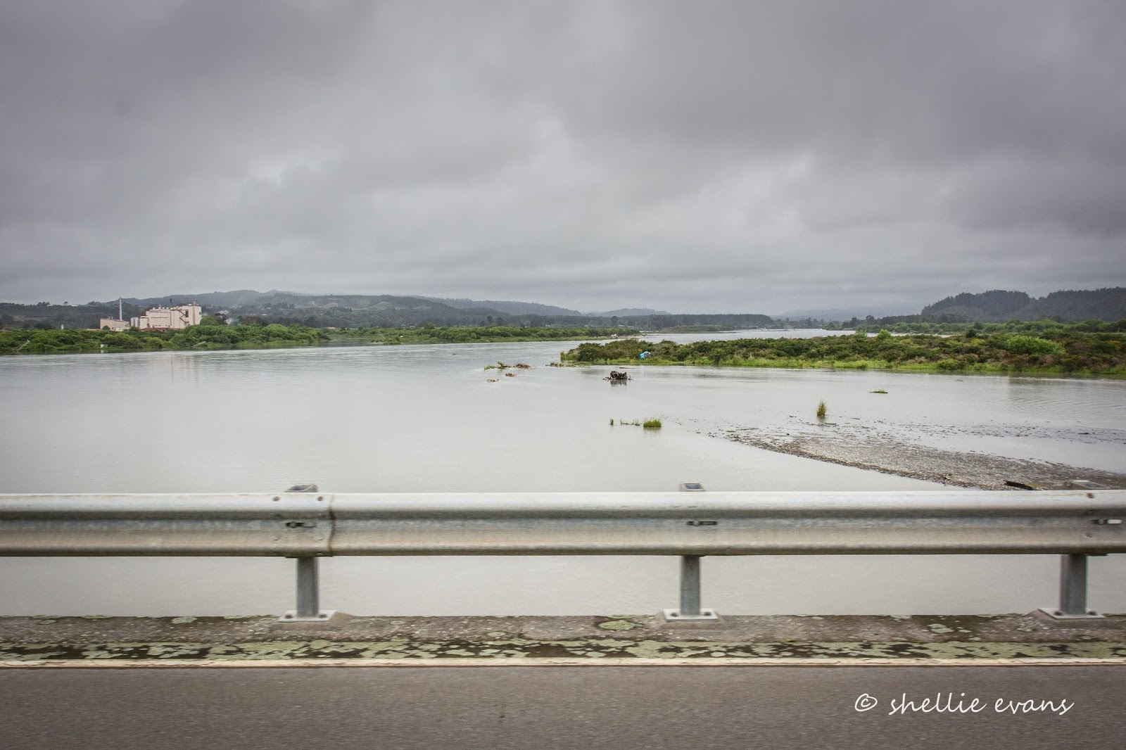
Whitebaiting at the Hokitika River- this was last Tuesday, November 8th. Looking down from the bridge as one 'baiter returned from an island in the middle of the river.


This was taken today, a week later with the river in flood (after a few days of rain including 54mm overnight), the kayak above was sitting on the shingle in the middle of this pool.


Stands along the town side of the river-


Last week the stands below hardly reached the river and in fact, the one in the foreground was nowhere near the water-


And today, you can see the blue tarpaulin from the photo above, tucked into the scrub below-


Some whitebaiters fished from the town steps-


Today the water was one step from the top-


This stand is on our side, the south side, of the bridge, it's totally under water today.


And I had this one ready to post the other day, the title was 'High & Dry'- today he'd need a snorkel.


Sailing on the next tide? I took these photos of Sunset Point, at the mouth of the Hokitika River, today just after high tide. People come here to capture the sunset from the lookout on the concrete ship. It won't be long before the ship will be marooned on its own island, the waves were crashing over the point into the river behind-


I take my sunset photos from the other side of the river and over the fence from where we're parked....sometimes I'm just too lazy to stand around for half an hour waiting at Sunset Point. These ones from last week were a lucky surprise. And not only because of the lovely colour and the added interest of the cows.

It wasn't until I was processing the photos I suddenly spied not one, but two White Heron/Kotuku in amongst the cows! You can see one of them on the right in this shot. I'd been looking for herons in the paddock all day, I know they are regularly seen around the park and in fact we saw one resting on the house roof next door but I hadn't managed to spot them in the paddock.


It had been overcast for most of the day, then the clouds parted just as the sun went down. I didn't have time to get across the park to the clubroom deck where there is a clear view so I leant out over the fence (and received an electric shock for my efforts) and snapped away. The cows are wondering who was making all the noise! 


And here's a few more photos from Lake Mahinapua where we stayed the other night at the DOC camp and where we were when the 'quake hit. There's a good view of the snow covered Southern Alps behind those clouds.


Sunburst sailing dinghies, boats we are very familiar with. A very long time ago when we were in Napier, David had business making fibreglass Sunbursts for many secondary schools; it's the boat they use to train their sailors in.


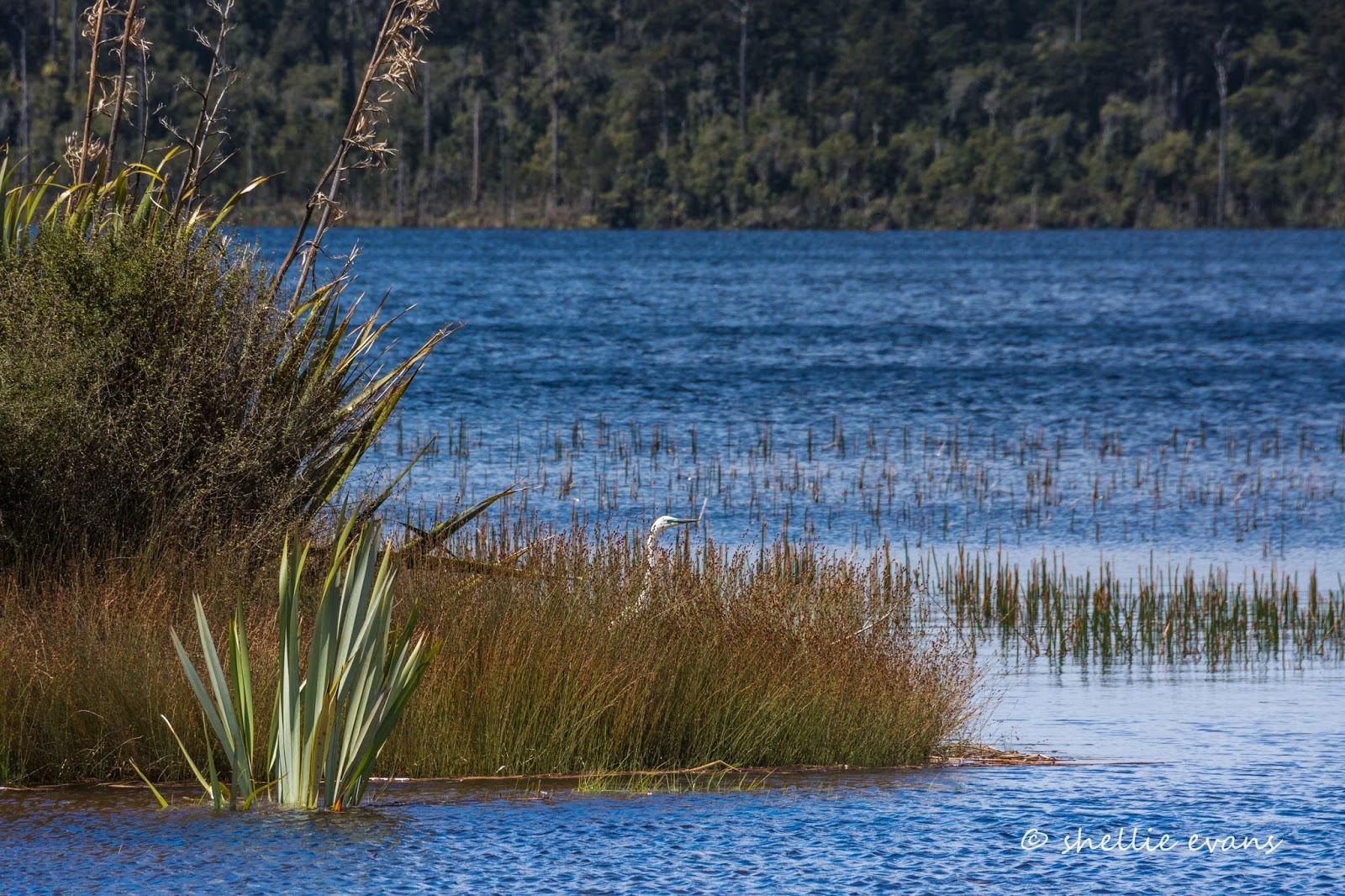
While I was watching the yachts, I spied a White Heron/Kotuku hiding in the nearby reeds. 


Later I went for a couple of short walks, I thought I might get a good lake shot from Swimmers Beach. 


The 1km walk was lovely along a nice wide path through bush and ferns and over a couple of open glades. Towards the end a sign told me the beach wasn't too far away. 


Imagine my surprise (and anyone else who walked the track thinking they might take a swim) when it ended here. A small gap in the undergrowth with thick bush on either side. That was a huge disappointment. 

I suspect a long time ago when the lake was a popular place for early settlers to spent weekends picnicking and boating, and when there was a paddle steamer plying its trade on the lake, the beach was once a proper beach where people came to swim. Now the bush has regenerated and this is all that's left, it's now a name only. Maybe DOC should put that on their sign to save the disappointment.


Oh look, weka are back in my good books. This family of one adult and 3 chicks were feeding around the van at Lake Mahinapua.


The chicks were quite independent but came quickly when the adult found something to eat. They were all very submissive to the parent and came in from underneath when begging for food.


The parent was quite tough on the youngsters too, pecking and chasing them if they did something wrong. The chicks cowered down on the ground if they thought they were in trouble and waited until the parent moved off before dashing away.


Other times she took no notice when one or the other stuck like glue to her side (I'm thinking it was the mother).


How's that for an eclectic mix of photos!  

But wait there's more.......in another short blog coming soon (if there's a internet connection down the line)


April 11, 2016

The Walk to Nowhere- MacKenzie Country

Catch-up

You may remember my post about The Road to Nowhere. Well now we have the walk to nowhere! 

And just in case you've lost where we're at, this is a catch-up post from December and we're still parked at the DOC camp beside the Ahuriri River in Omarama in MacKenzie Country.

I had a DOC brochure mentioning a walk to the Wairepo Kettleholes, a series of shallow ponds (called tarns in the high country) and that they are important feeding grounds for a number of bird species including black stilts, wrybills and black-fronted terns. "Great!" I thought, lets do some dedicated bird watching in an area that wouldn't have too many visitors.

The entry point was 14km down Quailburn Road which wasn't far from our camp site and in fact carried on past the turnoff to the Clay Cliffs, heading towards the mountains.


It was a big surprise to round a corner and see the prominent and familiar shape of Ben Ohau across the farmland and to find that we weren't that far, as the crow flies, from Lake Ohau, hidden out of sight below the ranges in the distance. The road we explored a few weeks beforehand up the west side of the lake, was also just across the paddocks.


We parked near the entry point to the Kettleholes... (and now I'll try & let the photos do the talking)


...and headed off down an old farm track via a public easement...


...over the first hill and the road stretches off into the distance on a day that's getting hotter by the minute...


...then over the next hill and still the road stretches off into the distance. This is starting to get a little boring. David is getting hot & bothered. "Surely we don't have to walk to the far end?" he says. Where are these elusive kettleholes! 


We're escorted the length of one paddock by a herd of frisky cows. This beautiful- if somewhat boring when you're walking it- landscape & former sheep country, is being converted to dairy farming. Hence the newly widened and gravelled access track we're walking and the new fencing and water troughs we're seeing. 

The hunt for 'white gold' has reached way back here in this stunning high country. Where winter temperatures drop below zero, snow lays on the ground for weeks on end and the soils are poor, how will cows survive? Not to mention the unnatural effect pivot irrigation has on the surrounding landscape, turning dry and arid tussockland and alpine herbfields into pasture. 


Finally we reach a stile and the only tell-tale sign that it must be a conservation area is the orange DOC marker pole. No signs. No directions. Nothing.  


David scans the horizon- dry tussock as far as the eye can see. We head off towards the middle, I think I can see some taller growth indicating a waterway.


David checks his 'go-to' GPS app- ViewRanger on his cellphone. It seems that whenever I look around to see where David is, his head is down and he's reading his app. A bit like me I suppose, all he sees is a camera stuck to my face. 

Anyway he tells me I'm heading in the wrong direction and we should be heading up the fenceline, so we weave our way back through the tussock to the fence and follow a vehicle track that runs alongside it. Off to the side and a good distance away I see first one, then another, and another rust coloured depression in the ground (zoomed in below). These must be the kettleholes; I had read that red tussock is a feature of them. But there's no water. They are bone dry.


I can see a slight rise ahead of us. Perhaps there'll be a bigger and wetter kettlehole up there. Well I got it half right, there was a bigger tarn but still no water. Which meant no birds. David was utterly incredulous- "you mean we walked all this way for nothing?" Yep, seems like it. He walked off in disgust, heading back towards the entry point leaving me to marvel at the landscape and the photographic opportunities that lone bright green willow provided.


And to wonder what the two short parallel fences were for that ran down to the dried up tarn in various places around the outside. There were at least half a dozen of them. You can see one to the left of the tree in the photo below (click to enlarge) and another part one to the right. And I still have no idea why they are there.


Never one to miss an opportunity, I took a few photos of the flowering groundcovers-


And then rushed to catch David up; another herd of cows, young heifers this time, had rushed over to the dividing fence to check us out. They were now skipping (see far left),bucking and running after David down the fence. I don't think these cows had seen any humans for a few days, and were probably thinking we had food for them. 


Once I got to the corner where they were gathered of course I had to stop to talk to them, and take some photos. They all crowded in around me, nosey ones at the back pushed others forward until they broke away snorting. 


Being heifers they would have been used to handling during their rearing but even though they were keen to come forward and sniff my hand, or push their tongue out far enough to touch,  they just weren't game enough to let me pat them on the head. 


By now David was way ahead of me. Time rushes by when you're having a chat...


...and finding another subject to photograph. Maybe that's why there's no water in them tarns, the tank is leaking!


And finally I arrived at the stile where David is patiently waiting, and reading his app again....or maybe it's the news. 


We head back up the farm road, the first herd of cows have broken into two, one lot are chasing the sheep across the paddock, the others are running up the fenceline with us. These guys really must be lonely.


At the top of the last hill I look across the paddock to see that lone willow and the tiny black dots of the heifers I said hello too. Even as the crow flies it looks a long way off; our walk took us off to the left, out of picture, before turning in along the fence to the willow. A bloody long way, all for naught.


I smiled later when I re-read the DOC brochure; 
- "...the result is gently rolling hummocks of moraine and a series of depressions which are sometimes filled with water"
'Sometimes' being the operative word. And as it was early summer when we visited I'm guessing that they only have water in them during the middle of winter after snow melt or after a long period of rain.

It wasn't until I was choosing the photos for this blog post that I discovered that the DOC sign post at the beginning of the walk had the words 'Department of Conservation/Te Papa Atawhai" painted over. And now I need to know why; the walk is still listed on the DOC website, it's still in the brochures. I'm wondering if all the dairy activity around the site has or is going to curtail access. I'm now on a mission to find out why....watch this space.

Update- How's that for service I fired off an email this morning to DOC's Twizel office and I got a response this afternoon. Some retched beggar has blown bullet holes in the sign and those are the repairs! Problem solved. I also asked about the fences around the tarn. They are permanent vegetation monitoring plots. The plants within the plot are being monitored for research purposes around the wetland areas. Cool. You learn something new everyday.