Continued on from Part 1
Once across the Skippers Suspension Bridge, the road narrowed as we followed it up a few sharp switchbacks before arriving out on an open plateau.

We pulled in near the information shelter and decided to have lunch there while we were at it...

...rather than across the valley at the remnants of the Skippers township. A car containing a large family had passed us at the bridge, and now had the only picnic table in the sun (if you don't count another one that had collapsed). The sun shone brightly on the autumn gold of an exotic tree near the homestead, contrasting spectacularly with dead wilding pines that surrounded the settlement.

Plus, I wanted to check out the Skippers Cemetery before we drove over to the other side.

A picket and stone fence surrounds the cemetery which contains about 20 headstones and the marked graves of early Skippers residents.

There are many unmarked and unidentified graves too.

The cemetery overlooks the Skippers Canyon, a fitting resting place for the hardy pioneers of this remote settlement.

Across the canyon, just above the sheer cliffs, another road cuts around the side of the mountain, it leaves the Skippers Road not far before the bridge. Branches Road provides access to the huge and isolated 45,000ha high country Branches Station. The station takes it's name from the many tributaries that form the upper reaches of the Shotover River and is about as remote as they come. With permission experienced trampers can cross through the station, over the Shotover Saddle and into Lake Wanaka's Matukituki Valley.
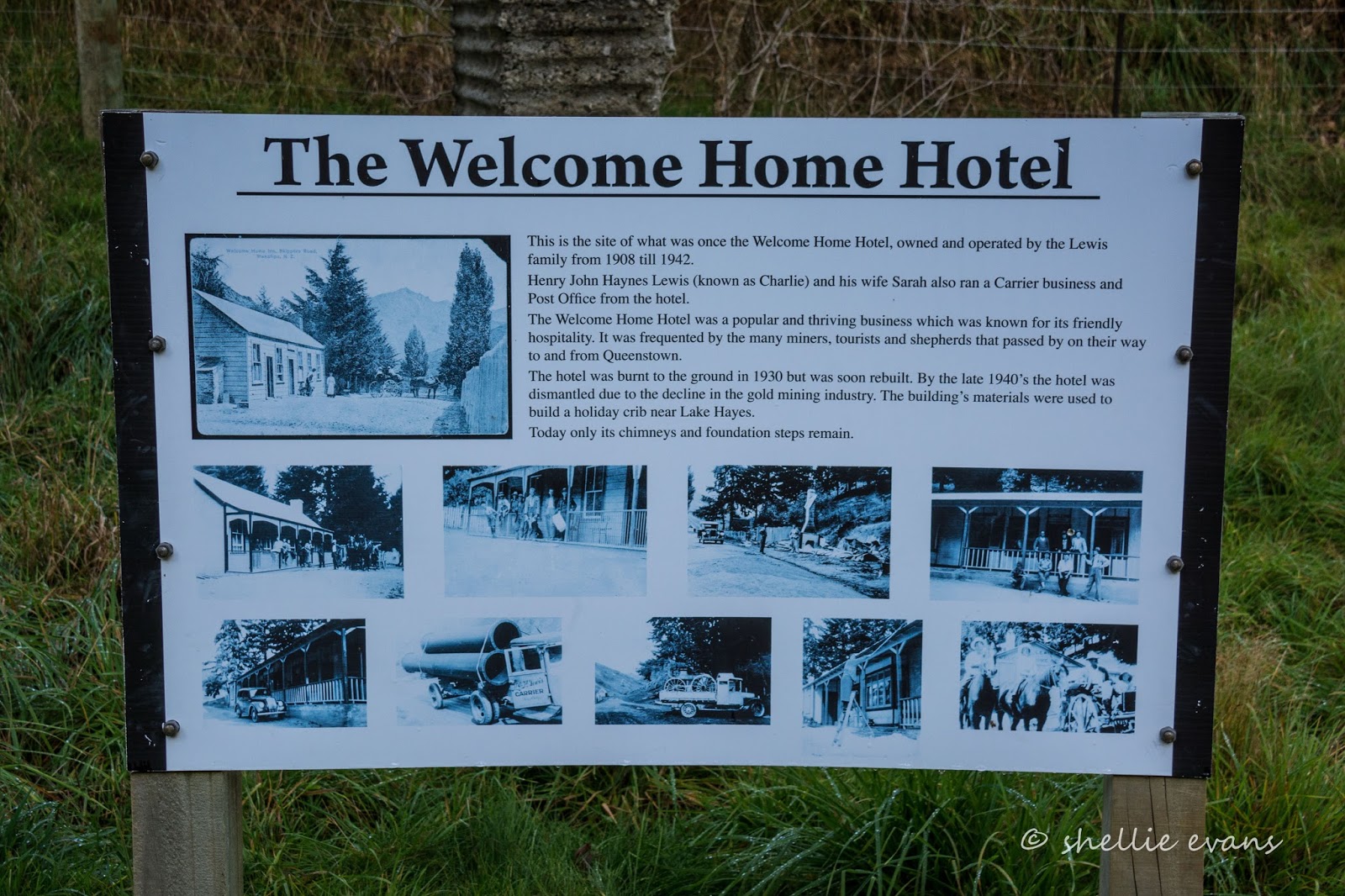
On this side of the canyon, a 2-3hr walking track heads past the cemetery and on up Skippers Creek to another old gold mining settlement; Bullendale. The remains of the Bullendale Hotel, the only hotel that was in this area, are along the way. Miners from Skippers, and further down the Shotover, had a fair hike to the pub after a days' work.
We gave Bullendale a miss and headed over the valley to Skippers where the historic Skippers Point School still stands proud and grand...

And looking just a little out of place in this faraway place...

After the school closed in 1927, it became a woolshed and then it was left derelict for over 20 years. In 1992 it was restored by the Department of Conservation, inside and out and visitors are free to wander at their leisure.

We both noticed how chilly it was indoors behind the thick stone exterior. I guess with a fire going on school days, the solid walls would have kept the heat inside, which is just as well because I'm sure there would have also been days when snow lay thick on the ground outside.

Skippers was never a mining town in the popular sense, there wasn't a main street lined with hotels and stores. The settlement was spread out across limited flat ground over two terraces. The school and Mt Aurum Homestead were on Burkes Terrace along with a few miners cottages but most of the population were located close to their mining claims along the banks of the river and nearby creeks.

By the 1940s the only permanent residents of Skippers were the owners of Mt Aurum Station. The station homestead has now also been restored. It was very interesting exploring inside both these buildings, with are a good number of information panels explaining the dynamics of the settlement, and the hard life and harsh environment that people lived in along the Shotover River. Winters were especially difficult with snow and ice laying on the ground for weeks at a time with no access along the track back to Queenstown.

The restored miner cottage was still sitting in the sun (or perhaps it was the Station's toolshed, I couldn't quite decide).

Behind the homestead there's a small DOC camp surrounded by very tall dead pines and a warning to watch out in high winds (the wilding pines in this area were sprayed in 2014). There are a number of tramping tracks and huts further on into the 9,100ha Mt Aurum Recreation Reserve, I guess this site provides a stepping stone for trampers and also a site for mountainbikers and visitors with tents or small camper vans who visit Skippers and might want to overnight.
I think it would be quite an experience camping out in a place that has so much history behind it, perhaps there's a ghost or two that might enjoy the company too. It's a pity 'Out There' wouldn't fit down here.

After exploring the immediate area it was time to head back to civilization. I would have liked to have done the one hour return 'Pleasant Creek Terrace Historic Walk' along the plateau, past some of the sluicing scars we'd seen from the other side of the river as we drove in. But, it was getting late and I still wanted to do a few photo stops on the way home.

In particular the Skippers Bridge again, now that that there was no one about and I could take my time.

The family I mentioned earlier were scrambling all over the bridge on the way in- the mother in panic mode as two boys climbed the fence and were standing out on a small rock overlooking the drop off into the river below.

And when they weren't clambering over the bridge they were paddling in the small pool below the nearby Bridal Veil Falls!

To give them their dues though, they were paddling while retrieving rubbish; bottles and wrappers.

We stopped at another lookout near Maori Point to look back up the river and over the plateaus. With the sun dropping, the detail across the terraces was highlighted even more, we were also a little higher up at this spot. Here you can see the distinct ridges of the water sluicing pipes and canals snaking across the land both on the terrace in the foreground and the one up behind. I wondered how they managed to get to the plateau in the foreground, it looks like they sluiced their escape route away!
You can see a small piece of the the river in the bottom left corner. There were a few old rusted mining relics laying on the side of the river down there.

And this looking back towards Skippers, you can see the white of the school building in the centre of the dead trees at the back right. You can also see the other end of terrace with no access, which is in the foreground above.
And at the centre back, the little cottage I mentioned in 'Part 1' of the Skippers Blog, here, I've zoomed in for you. This is where the one hour return walk from Skippers finished. You can see an information board on the edge of the sluicing scar. At first I thought it was a horse until I cropped it some more! I believe the cottage is privately owned, perhaps by someone that still has a claim nearby.

Anyway, enough of the details, it's time to retrace our tracks. There are still a small number of people living along the Skippers Road, some are still living as the pioneers did, in ramshackle homes with basic amenities, living off the land and probably their gold claims. There are also a few farms and I wonder how they move their stock in and out, probably by droving them. You can see a house and farm buildings near the Pipeline Bungy bridge in the photo below.

It's not long before we're back onto the rock cutting through Pinchers Bluff slowly climbing above the river below...

It's just as scary second time around, but at least David can now see how close he is to the edge and it's now me that's ducking my head as an overhanging rock approaches.

Although when I get out to take some photos, it doesn't look so bad...as long as you don't trip on the soft edging and tumble down the cliff.

Now I'm hoping we're not going to meet anybody coming the other way.

We make it out safely (ye of little faith), and stop for another breather and a last view down the Shotover Gorge before we turn inland and head up Long Gully. Just imagine if the wildling pines and other exotic plant pests were allowed to take over, these spectacular views would be gone forever.

A tiny miner's hut sits all on it's own not too far up Long Gully. It was in the shade when we came through this morning but is now bathed in the warm glow of the setting sun, making it a perfect subject!

I bet it looks spectacular in the autumn too, when the nearby poplars are a brilliant yellow and the hawthorne bushes are covered in their bright red berries.

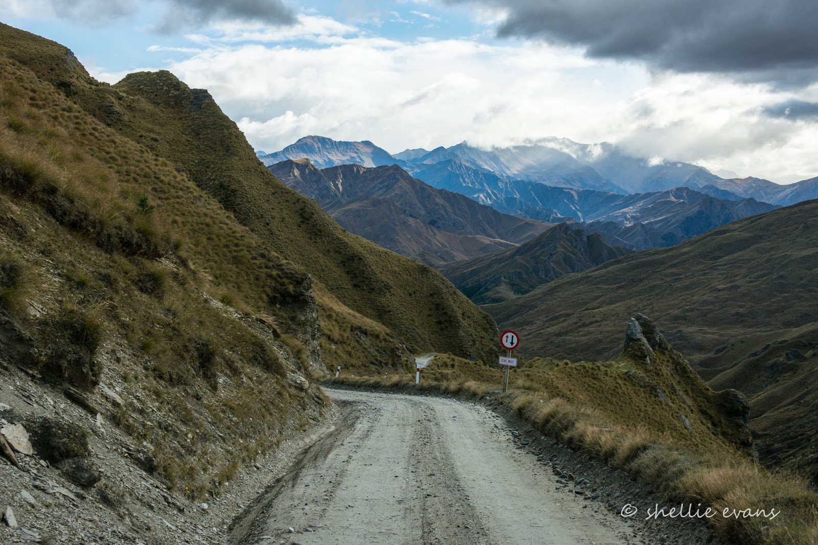
There's still a few narrow sections to watch out for...

....and unusual rock formations to see, on our long climb back up the gully. This is the aptly named 'Lighthouse Rock'- it not only looks like a lighthouse but also stands proud near the top of the road and 'guides' us back home.

I manage to take a few shots out the side window, of the dramatic rocky landscape across the gully. There are only so many times I can shout 'Stop!' at my ever patient husband...especially on the homeward bound journey!

But I manage to twist his arm one more time so I can take a last shot of the colours and contours of the tussock covered slopes down the gully.