We headed north to Greymouth after leaving the NZMCA Park at Hokitika. Hokitika is as far south as we travelled on this visit to the West Coast, we’re leaving the bottom half for another time when hopefully, the rain won’t be so persistent. This is just as well, as after arriving in Christchurch this week, the West Coast had some atrocious weather with major flooding and road washouts. The locals must be seriously getting fed up with so much rain.
The road journey for us is just as interesting as the destinations we end up at, our legal speed limit is 90kph but we mostly cruise around 75kph which gives us ample opportunity to see the countryside. After all we are in no hurry-I can hear you cursing from here- and this is from a former speed freak who never let anyone pass her on the Napier-Taupo Road. But David is a very conscientious driver and we never hold up another vehicle, we are forever pulling over to let faster traffic through. This benefits us both; David doesn’t get stressed with traffic pushing us along and I get to take photos from the cab or see information signs well in advance, and we both can enjoy the passing scenery. I think this attitude has helped us on our travels over the last 20 months as we have never been subjected to any type of road rage and nearly every passing vehicle thanks us in one way or another by tooting, waving or flicking their lights.
We didn’t need any encouragement from a pilot vehicle to pull off the road when we saw this huge silo(thing) approaching us as we crossed a one way bridge.
We can assume the silo didn’t pass through the Taramakau road and rail bridge just up the road. If it didn’t come over Arthurs Pass(highly unlikely) it must have taken the back roads as there’s only one highway between Greymouth and Hokitika. You’ll remember the bike rider sign from a previous blog post; this is approaching the bridge from the other direction. David keeps a close eye on his side while I’m meant to be keeping an eye on my side.
Our Greymouth destination is Jellyman Park, a large gravel & pot-hole ridden carpark on the edge of the a bay in Cobden where freedom camping is allowed…..for 3 nights only as I was to find out. We were in Greymouth to have the Ford Ranger serviced, our neighbour who was camping behind us at
Lake Kaniere over Easter, turned out to be the Ford service manager in Greymouth and as the ute was due for its 30,000km service David felt there was no better place to have it done. And especially after Roger mentioned a few quirks he was aware of and could fix.
North Beach is a typical rugged West Coast beach littered with so much driftwood it’s hard to imagine where it all comes from (although having seen all the cyclone windfall I have an idea). There’s a wall of wood higher than me at the south end of the beach. I have a fantastic view out the window (bottom left) as I type my blogs, I think this is the closest we’ve been to incoming waves.
The ute was booked in for Monday and as we arrived on Friday night we had the whole weekend ahead of us. We were entertained by a passing parade of locals both days. Saturday morning we were woken early by the whirring of weed-eaters, on the sports field bank opposite us a dozen or so young men in bright orange safety vests, safety glasses and ear muffs were working; local community service ‘volunteers’. They stayed all day and I must say they worked their butts off, the spectator bank around the sports field was spick 'n span ready for the new rugby season.
I say we were woken early but that’s not quite right, I was woken earlier at 5:30am by a vehicle doing a slow drive by. I looked out the window to see an old guy in an orange vest climb out of his car carrying a clip-board. He proceeded to right out a ticket and attach it to the non CSC compliant sleeper car parked along from us (CSC - certified self-containment). He then added another one to the vehicle ahead of us. Hmmm…great to see a freedom camping spot policed. He came by each morning we were there.
Sunday morning I was getting breakfast when I heard a commotion approaching us, when I looked outside there were people and dogs galore walking by. A doggy play date!
They walked to the end of the carpark where the high tide cut them off from walking any further up the beach. They then turned around and returned along the beach with most of the dogs off their leads enjoying the surf and chasing each other. Unusually, there were three St Bernards amongst them....and one was definitely not CSC.
The neighbours in front of us, in their Juicy hire motorhome, were a French couple and their two young children. They spent most of the day on Saturday building a very elaborate tepee on the beach. The children had their lunch inside it, sitting on a log at the table Dad had made from an old piece of plywood that was found amongst the wood on the beach. The mother served the children through the window at the back. Such wonderful memories for them all although I’m not so sure the children will remember them.
Watching them, I kept getting anxious as the tots were fishing bits of wood out of the pool that was forming nearby as the tide came in. One rouge wave and they’d be in trouble- as we've seen, West Coast waves leave no sand when the tide comes in. The father told David he was used to the ocean but we had to tell them New Zealand’s sea was a lot different than what he would have experienced, and especially on the West Coast.
Long after the children (and his wife) had lost interest in building the tepee, the husband soldered on, adding more and more pieces of driftwood to the structure, slowly filling in all the gaps until he had the most elaborate drift wood tepee I have ever seen. Later in the day he returned from up the beach with a flax woven door to add to it! It even has a small wooden door handle tied to the flax, which he must have added later as it's not in the top photo.
The beach is just north of the Grey River breakwater (known as the Cobden tip head). This was the pile of driftwood at the end of the beach and in the curve just before the breakwater. I walked to the tip-head a couple of times although I had to take the walkway around the back way because there was no way past this pile at high tide.
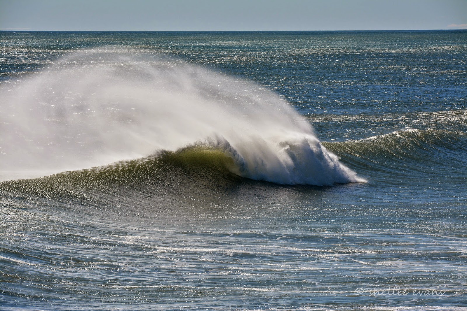
An off-shore breeze was creating a lot of sea-spray and haze along the beach and over the hills behind. At least all the rain we’ve been having was helping in washing the salt off the vehicles.
We’d heard that a spring tide was due on Sunday and what with the wind, the swell and the now the higher than usual tide there was a lot of people calling in at the beach and along the tip head to check out the waves. A few surfers tried their luck but there mustn’t have been any good breaks as they only lasted a few waves.
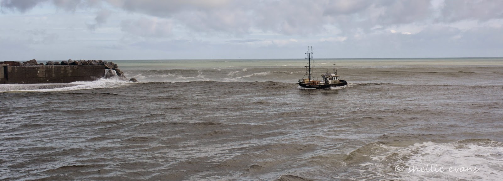
The Greymouth River Bar is extremely dangerous to cross, 45 boats have been wrecked over the years and 17 people have lost their lives as boats have tried to enter and exit the river. I had seen a few fishing boats coming and going while out walking but missed shooting the most scary entry. I was too far away to catch it surfing in and crashing down a huge wave on it’s side. I did catch this one on my next visit although it wasn’t quite as hairy a ride.
The little bay below is on the inside of the tip head, the river on the far side. The left hand picture was taken on Saturday before the spring tide. The two on the right were taken on Sunday at high tide and with huge waves rolling in. Look at that flotsam in the breakers, and another large pile of diftwood on the beach behind. Over the weekend there were many people, both at our beach and here in the bay collecting firewood in bags, trailers and filling their car boots.
There were also a number of photographers at both the Blaketown (south breakwater) & Cobden tip-heads shooting (and escaping from) the crashing waves.
Back at the van, the spring tide was pushing the waves in very close. Even the tepee had wet feet. It was a little unsettling to hear the swish and rumble of waves later in the night when the next high tide arrived, knowing that it was just out the window in the darkness. I’m sure had there been a storm at the same time as the spring tide, the waves would have crashed over the carpark.

Later in the afternoon I heard a motorbike outside the van. When I looked outside I saw a guy on a trike (as ancient as he was). This was the same guy I had seen in an orange vest at 5:30am in the morning. He came over to talk and in a round about way mentioned freedom camping was only allowed for 3 nights at Jellyman Park (and only 10 in any calendar month)- he gave me a brochure with all the rules. Sunday was our third night and because the ute was going to be in at Ford for most of Monday we had thought we’d stay Monday night too. We could have moved down the road to another freedom camping area but we didn’t feel like doing that late in the afternoon especially when the rain set in on Sunday night. I turned on my charm and mentioned all the money we were spending in Greymouth- groceries, diesel, gas bottle, vehicle service (plus a brake repair on the van & holiday park as it turned out).
‘Oh don’t worry’ he said, ‘we’re not that strict on it out of season’. Hmmm…..oh well, we’ll chance it I thought. But believe me, I was closely watching him when he did his drive through at 5:30am Tuesday morning. I know he is doing a good job and it’s one of the few areas that police their freedom camping sites but sometimes these pro-freedom camping towns have more rules in place than the ones that aren’t.
And then for my troubles I got his life story for the next half hour. He lived just down the road and came to the park at least three times a day, more over summer. He collects wood from the beach, but not just any wood, he had an eye for the good stuff- I can’t remember what he does with it, I must have tuned out by then. Earlier he saw a log down below us that had washed in overnight so he raced back home and had come back with his trusty trailer & chainsaw to salvage it. He said if he hadn’t have got it straight away, some other bugger would have got in before him.
I left him to it and saw him later riding off with the trailer full of wood sticking out every which way.
And that was our weekend of entertainment in Greymouth.
Roger at Ford did a magic job on the ute; we were topped up with fuel, food and water, tanks were empty and we were ready to head to Lake Brunner when the brake computer for the van decided to throw a hissy fit. Luckily Roger had the contacts and we got in touch with a good auto electrician and we were able to get the parts sent down overnight for him to repair it. Because it was raining heavily and we’d already over-stayed our welcome at Jellyman Park we decided to stop overnight at the Top10 Holiday Park, a huge campground in a lovely position right on the beach, south of the town. It was great to be able to do the laundry, have a long hot shower and top all the batteries up before heading to the lake.
I’m not sure what happened to the ‘I’ll let the photos do the talking’……