After driving through Patearoa, we continued on up the Maniototo valley passing along the way, quite a number of new dairy conversions and some still under construction. It was a surprise to see dairy farms all the way out here, I wondered where the closest dairy factory was, we haven’t seen any tankers on the road while we’ve been in the area. We slowed to let the tail-enders of a large herd cross the road, followed by a couple of quad bikes with farm workers on board. Most of the farm labour we’ve seen around the dairy farms here and further south have been Filipinos. I bet the Maniototo would have been a major culture shock for them, especially the isolation and the bitter cold.

We leave the dairy farms behind and move into sheep country, large station homesteads appear here and there and near the entrance of one, we stop to take a photo of this old salvaged & restored gold dredge.

Further on we pass Patearoa Station’s beautiful stone woolshed….

…which is across the road from this long abandoned homestead. The 5000ha Patearoa Station was purchased by the Hore family a few years ago and added to their own large station next door.

The 8000-odd hectare Stonehenge Station is home to the Hore family, this is the family farm of past All Black Andrew Hore whose great-grandfather came to the Maniototo in 1910.
Stonehenge Station cottage and farm shed.


We pass over the Tairei River once again, it’s getting narrower so we must be nearing it’s source. There’s also a couple of small power stations on the banks of the river. We start to climb again and we’re looking for a sheltered place to stop for a late lunch.

Towards the top of the rise we pass over a large pipe that is channeling water down to the power stations below. The view out over the vast Maniototo Valley is stunning, small irrigation ponds and dams are glistening in the sunshine, and across the valley is the snow capped North Rough Ridge.

At the top I spot an NZ Fish & Game angling sign beside a closed gate. There must be a lake or dam nearby so we decide to check it out and maybe find that place to have some lunch. We follow a steep track up the side of a bank and find ourselves on top of a dam wall and beside the intake to the pipe. This is the Paerau Irrigation & Power Scheme and a track follows the dam walls in both directions.

We head towards the far end of the dam and before we realise it, there’s a large mob of sheep advancing on us (coming round the mountain). They think we’re the farmer and have their feed with us.

They hesitate for a moment & we make a hasty retreat and finding no shelter beside the dam to have lunch, we park on the track between two huge rocky outcrops. It’s once again bitterly cold outside with a stiff wind blowing but at least the rock offers a little bit of shelter as I pour the soup standing between the open doors while David stays warm in the cab. The white on the rock beside his door are frozen icicles, water that has seeped out of the rocks has frozen on it’s way down the rock face.

We don’t hang about and nor have the sheep, they ambush us on the track over the intake. They must have taken a short cut because we didn’t see them pass us by.

We nudge our way through avoiding eye contact as they stretch their heads upwards looking expectantly for food. When we look back there’s still dozens coming over the rise. We can’t get out of there fast enough. What's with sheep and us, we seem to have spent much of our time in the Maniototo being harassed by hungry sheep.

We carry on down the road, we’re getting close to the end of the road. This is Paerau (meaning many ridges) and formerly known as Styx, as in ‘out in the styx’- and this really is out in the styx, the back of beyond, the wops, miles from nowhere. This road does end, but before it does, it crosses the famous Dunstan Trail, a trail used by miners on their way to and from the inland gold fields of Central Otago back in the late 1800s.
The Dunstan Trail is a Dry Weather Track (summer only), we drove part of it on our way to Poolburn Dam the other week and hopefully we’ll be back to drive it’s length next summer. There are other tracks that branch off from the Dunstan Trail, one heads to Lake Onslow- The Dismal Swamp, where we visited awhile back from the Roxburgh side of the range. Another track passes the most isolated church in New Zealand, the Serpentine, a rough stone ‘hut’ out in the middle of nowhere. Of course I’m hoping we’ll make it to there too.

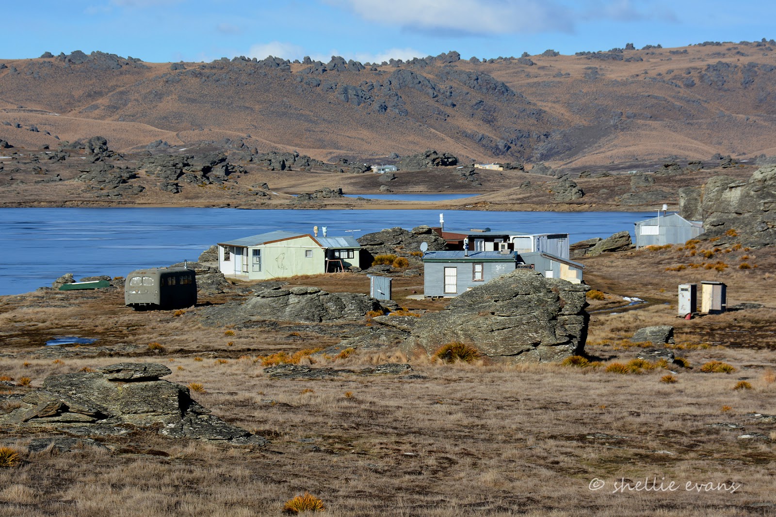
We cross the Tairei again and as we head up the other side I spot some old buildings down the bank beside the river. These are what I’m looking for and one of the main reasons we’ve driven to the top of the valley.

At the top there’s a gate and a track leading down to the river. It’s private property with a sign on the gate.

This is where the old Styx jail, hotel and stables are located. This is also the junction with the Dunstan Trail and it’s where miners stopped for the night- there were originally two hotels, one on either side of the river so there were options if it was in flood. The Styx Jail was built in 1863, but rather than for prisoners, it was mostly used to secure gold during overnight coach stops.

I thought I had it sorted but the sign wasn’t to scale and didn’t quite make sense (to me anyway), we were parked at the sharp point on the sign, at the Dunstan Trail junction. Talk about being picky- the owners of the land around the jail must have had issues to be so pedantic. But it didn’t matter because when I got to the bottom of the track I found I couldn’t get to the jail anyway due to having to cross the river.

There was no way I was taking my socks & boots off and crossing through the ice cold water and it was actually about knee deep even though it doesn’t look it here. The stables were visible and another building which was possibly the old hotel but I couldn’t see the jail even through the bare trees. I was a bit disappointed not to actually see the jail but that'll be another reason we’ll have to come back this way in the summer.

As I was getting back into the ute, we heard a whole lot of revving and laughter coming from the Dunstan Trail ahead of us, and high up on the range we spotted three 4WDs weaving their way down the trail. They disappeared into a gully for awhile; we could still hear the revving and yahoos, before they popped over the rise in front of us. They skidded and spun their way out onto the road and were gone, as fast as they appeared.

We turn around and followed their wheelie tracks back up the valley before we turn off and head across the head of the valley to the west side. We stop at another old stone woolshed, this one I think is on Linnburn Station.

A little further on we pass the another entrance to the Dunstan Trail, not too far over the range is the Poolburn Dam. The section of the trail between here and the Styx is the one we’ve just travelled and is the normal public road.

The sun comes out as we turn our nose towards home and head along the bottom of North Rough Ridge passing more sheep stations, deer farms and dairy herds along the way.

Ahead of us I spot a gang of turkeys near the roadside fence- I like gang myself, but rafter or flock, they all refer to a group of turkeys. We pull up so I can take a photo just as I spot another flock of sheep making a beeline across the paddock towards us. ‘Quick,’ I call to David ‘Let’s get out of here!’
Just around the next bend is another larger gang of turkeys spread out across the road. They dash for the fence and as we slow down peel off to the left, running fast along the fence line trying to find a break in it to escape.
I know what my family will be thinking reading this; did you lean out the window Shellie and go ‘gobble, gobble, gobble!?’ My mother did this when we were kids, whenever we’d pass turkeys while out driving around the countryside (in fact she’s been known to do it when we were adults too). I think (I bet) she got it from her father- if you get the call right, the turkeys will answer back. They didn't talk to me.


And that was us for the Maniototo too, we left Ranfurly a couple days later driving over the Pig Root (Kyeburn to Palmerston) and through to Kakanui, heading north to see our family again. We decided we'd do the last third of our Cheats Otago Rail Trail, from Kyeburn to Middlemarch, later in our travels.
We had an awesome time exploring this amazing part of the country and especially doing it during winter. I missed my hoar frost (much to the relief of the locals) but we had our fair share of snow, ice and beautiful winter sunshine along the way. Our 5th-wheeler did us proud, we were so toasty warm because it is so well insulated. We hardly needed our second diesel heater- we have two, one in the bedroom and one in the lounge. And as long as we layered up with clothing we managed very well outside in the sometimes extremely cold weather- one day we woke up to -12 degrees Celsius. An extra bonus was the lack of people, we could have been the only people on earth some days.
We'll definitely be back another day, another season.