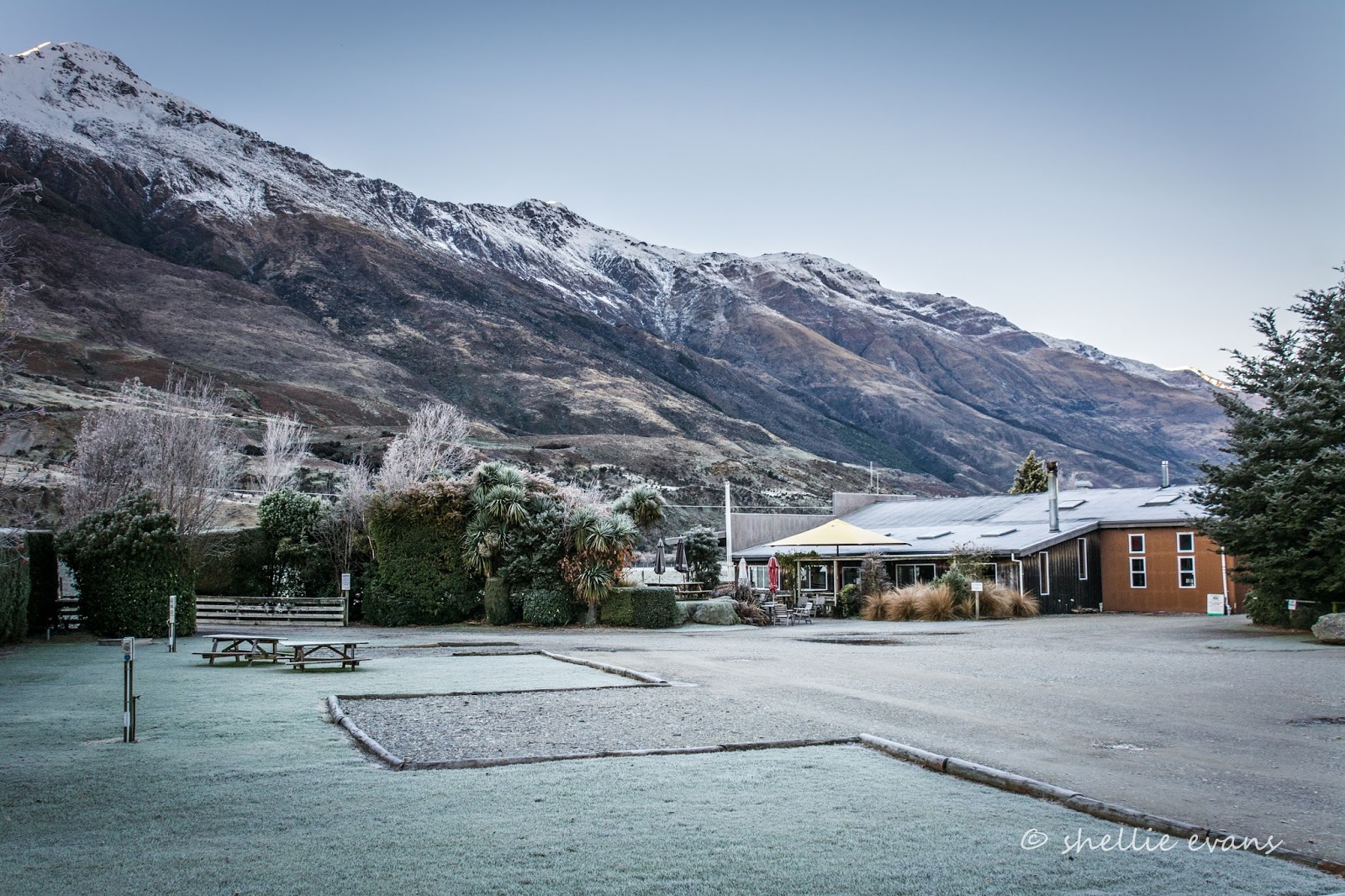
With another sunny day waiting in the wings (behind the mountains), we left a very cold and frosty Makaroa behind and carefully made our way over the icy road to our first stop in Haast Pass.
The Blue Pools are located at the mouth of the Blue River which joins the Makaroa River deep within the thick bush of the Pass. It's a short and easy 1.5km return walk (1 hour) to the pools but the first thing we notice when we step out on the path through the bush is, (surprise, surprise), how bloody cold it is. It's freezing, and I usually don't feel the cold too much, but this was bone chilling cold. A good reason to step lively, I tell David. Needless to say, he's not impressed. We stop for a moment or two at the occasional sunny spot on the track, it's amazing how quickly you can feel the warmth from a weak sun. It's not too long before we can see the Blue Pool bridge across the river.

We cross over the Makaroa River swingbridge, being careful not to touch the wire rope too often- it's covered in thick ice and our gloves stick to it. Luckily the boards are covered in wire netting providing a good grip for our boots on the frosty bridge.

We even have to scrape the ice off the information board beside the pools, to read it.

We're back into tourist territory; DOC have gone all out in providing well formed pathways, information panels and this excellent stable bridge so the pools can be seen clearly from above.

The blue colour of the pools is a result of the light refraction on the clear, snow fed, icy cold water- I can relate to that; that's why my hands and nose are ice blue! A few hardy trout swim through the pool, it's obviously very deep as they look tiny down by the floor, growing to reasonably sized fish as they approach the surface.

Looking back towards the Makaroa River swingbridge- the rocky beach and surrounding trees are coated in icicles.

David has had enough of the cold, he heads back to the carpark while I take a track down to the edge of the pools...

...being very careful not to slip over as I cross the frost covered rocks, unlike this fellow who quickly regained his composure as he slipped and stumbled over them.

And then the next lot of people did the same. I wonder how many have no idea how ice works.

Our next stop was just down the road at the Cameron Flat DOC Campground which looks to have had a recent upgrade, there's several parking tiers, all surrounded with bollards and rails. It's well set out for the summer influx of campers although it's not our cup of tea. We're not keen on this type of regimented DOC camp, where the camping areas are marked out and they usually don't allow for larger rigs either.

There were a couple of things going for the camp though; it catches the early morning sun and it has a fabulous view out over the Makaroa River Valley.

By the time we're back on the road and climbing towards the Pass summit, the icy roads are turning to slush and we can hear the recently spread grit splattering up underneath. We stop at the top...
...and decide that the Haast Pass Lookout Track looks a little too steep and a little too long at 3.5km.... maybe that can wait until the summer if we're passing through. The problem then will be the lack of carparking for our bigger rig- that's one plus travelling out of season.

We're ticking the stops off quickly now, especially when the attractions are right beside the road. Fantail Falls are next and it's just a quick 5 minute walk to see them. With such a dry summer and autumn there's not too much water flowing over them. We're a little underwhelmed (thankfully the walk wasn't too long).

And once again the rocky beach is covered in thick frost, which actually appealed more than the falls to some Irish travellers I spoke to in the carpark.

David wanders back to the vehicles via the river, checking for trout along the way. I take some more frost crystal photos.

With no pull-offs or slow vehicle bays on a long haul up the next steep incline, we pull across the road to let traffic from behind pass...

...where there's a very steep drop off into the Haast River far below...

And it's not until later that I realise that this is the area where, 2 years ago, a landslide wiped a tourist's motorhome off the road and into the Haast Gorge during a severe weather event that hit the area. The badly mangled van was later found wrapped around a huge rock downstream. Sadly one person's body was never found and the 2nd's was found 50kms away washed up on the beach north of the river mouth. It's hard to believe that such a tragedy could happen surrounded by such a majestic landscape. Never under-estimate the power of nature.

We head downhill, passing a number of signs counting down the metres left before your time runs out to take the emergency off-ramp (or should that be up-ramp)! I can't even imagine how terrifying that would be. This is the first time we've seen anything like this on our travels, and although it was steep it didn't appear to be that out of the ordinary. Maybe it's because the gorge and river are at the bottom of the drop...

...along with the 'Gates of Haast'. We crossed over the bridge and pulled into a parking area so I could get some shots of the river and bridge.

The roar of the water passing through the narrow gorge tumbling over and around the huge boulders was deafening. I 'found' this information plaque on a rock wall, hidden under the overhanging ferns on the other side of the road.

Our next stop is at the spectacular and aptly named Thunder Creek Falls which appear like magic through a tiny gap in the bush, dropping 28 metres over a smooth rock face into a small pool below. David likes walks like these, its another short 5 minute walk from the carpark.

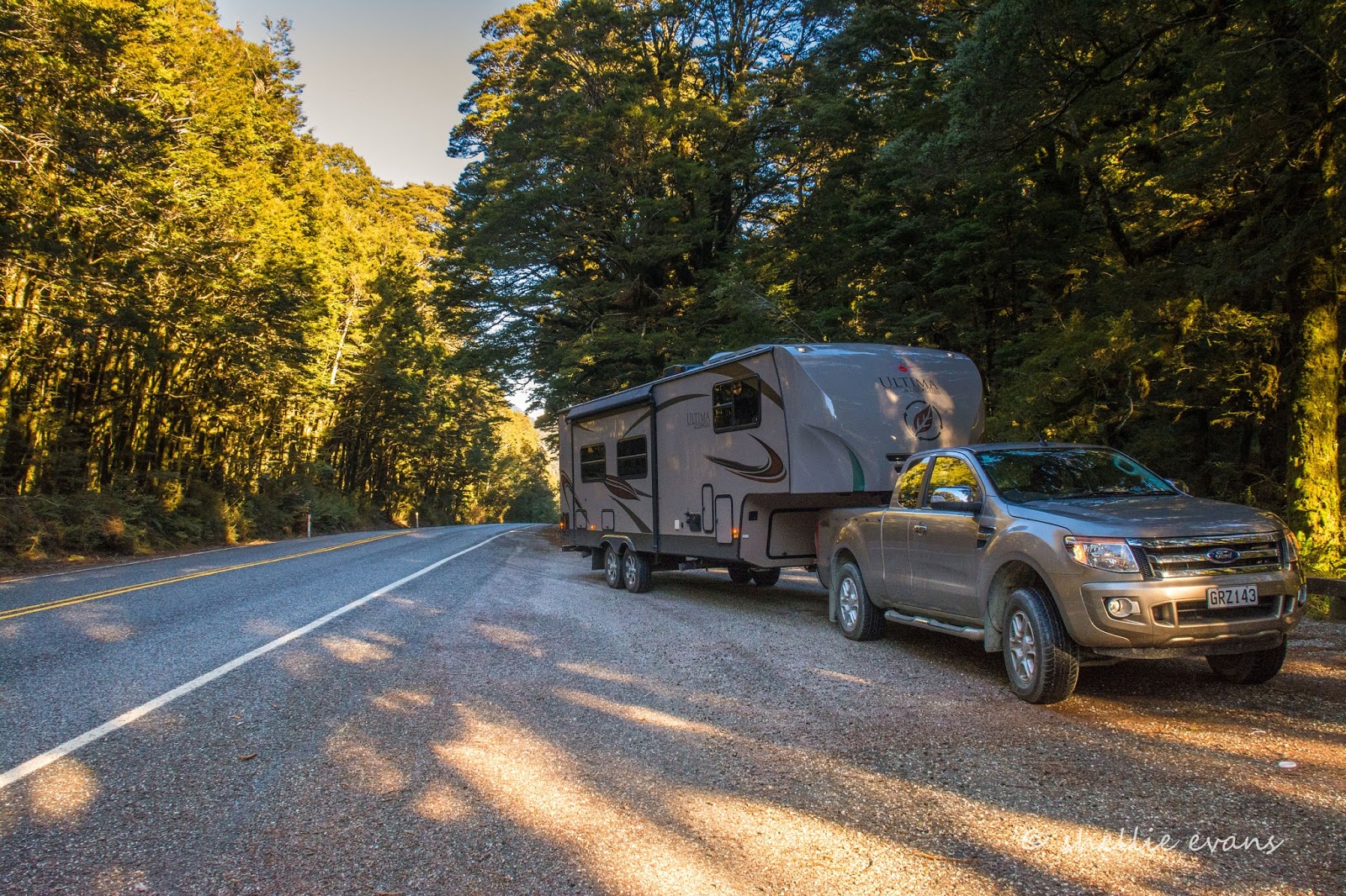
We stop at the only other DOC Campground on the Haast Road for lunch. Pleasant Flat isn't so pleasant today, the sun disappears behind the mountains just as we pull in and it's soon cold and very damp; thank God for the diesel heater, which we set going as soon as we stop. It doesn't take long to roar into life and the interior is soon toasty warm while we have hot soup and warm bread rolls. I love travelling with the van on the back!
Pleasant Flat is also another regimented campsite with rails and bollards around numerous areas that are tucked into the bush and out here around the shelters and toilets. We wouldn't fit the vehicles in here during the busy season either, except maybe outside the loos! No thank you.

Our last stop of the day is at the Roaring Billy Falls. I catch a glimpse of the falls over the top of the trees at the back of the carpark and try to decide if it's going to be worth walking to them. They are already in the shade and in fact it looks like they might not see the sun at all during the winter, tucked into a narrow gully between mountains.

It's a 15 minute walk through a fern and moss laden silver beech forest to the Haast River bank where the view isn't any better. I cross the wide rocky river bed to the edge of the river and the foot of the falls but they are even more obscured by the overhanging trees, the noise is...well...a roar. Been there, done that, crossed it off the list.

Back on the road and it seems to take forever to wind our way down through the wide Haast River valley until we finally reach the tiny settlement of Haast...

...which we pass right on by and turn left just before the exceptionally long single lane bridge over the river. We're heading south along the coast to the Haast Beach campground, a classic original kiwi campground. Except that it isn't actually at Haast Beach which is just 4kms south but at Okuru, 16kms south. There's plenty of signs letting us know that we're nearly there.

Haast Beach campground is a large property with lots of open space around the central ablution and kitchen blocks and two rows of cabins. It's the long Queens Birthday weekend and after our host tells us that there's a 4WD club due to stay in the cabins for the weekend, we find ourselves a quiet spot out the back with the whitebaiters 'retired for winter' caravans. Perfect!

Well nearly, there's no cellphone reception so no internet, which is fine for a few days but it still feels like we've had an arm chopped off. We're given 2x 250mb vouchers when we check in (worth $25 each, a mistake we learn later, it should have been a five dollar, 50mb voucher). When we check the provider we find we can buy more data.....at 10 cents a mb. That's $100 a gb! That's some expensive satellite internet. Take note all you landlubber landliners with your endless supply of gigabytes.
And, I have to report here that I still had about 40mb left after 3 days careful use while he who shall remain nameless, used his voucher and then purchased another $10 worth, using all that as well!


