Showing posts with label pinders pond. Show all posts

Tuesday, May 20

Horseshoe Bend & the Lonely Graves

The next day we decided to do a tiki-tour to the little settlement of Beaumont which is 35kms further down the river and where one of the very few bridges crosses the mighty Clutha.

Before we left I dove up the river to get a photo of the Roxburgh Bridge.


Now that we have been following the river downstream from its outlet back at Lake Wanaka I’ve discovered that most of the bridges are historic and usually painted in either red or blue. By my count there are only 13 opportunities to cross the river in it’s entire 338km length. One of these is a dam wall (Roxburgh), another a suspension bridge for foot traffic only & one other that I’ll keep as a surprise.

So far I have taken photos of 11 of the crossings; of the two that I have missed, one is on a main road to the West Coast, back in Albertown which we will cross again at some stage & the other (at Beaumont) was covered in scaffolding and didn’t look that photogenic. Hopefully we’ll pass over that again sometime in the future and then I’ll have the full set!

The Roxburgh Bridge, like the Alexandra Bridge has the old piers of the original bridge nearby, in fact two sets of remains, one on either side of the new bridge.The remains in the right hand photo are of the 1875 bridge. After looking for the build dates of the earlier bridges I came across this information, very interesting-

“Bridging the Clutha was a considerable challenge, which became clear in the great flood of 1878. The Bannockburn bridge on the Kawarau River was swept away, and its wreckage destroyed the Clyde bridge on the Clutha, which in turn ruined the Roxburgh bridge, a laminated wooden arch, only erected in 1875. Further downstream the Beaumont bridge was washed away and it in turn destroyed the Balclutha bridge.”


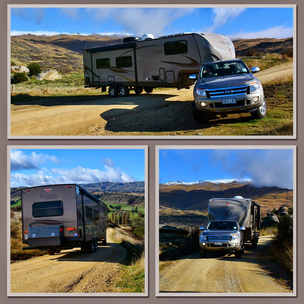
By driving to Beaumont we would be able to follow the road down the north side of the river (the true left), cross over at the Beaumont Bridge and come back to Roxburgh via the main state highway. The very new & very impressive Clutha Gold Cycle & Walking Trail also follows this same loop, the cycle trail is a continuation of the Roxburgh Gorge trail I talked about in the previous post. They are pretty impressive trails and have had a lot of money spent on them. The track ran past Pinders Pond, between us & the river, and although its out of season at the moment, we saw quite a number of people using it.


The track follows some of the old rail corridor through the Teviot Valley & the Beaumont Gorge with all new bridges over any creeks & streams, there’s plenty of signage, fencing & gates down both sides of any farmland it passes through, tiny cattle stops & cyclist sized Give Way signs at each outlet back onto the road.

There are a number of historic buildings & places to stop at along the trail. Many of the buildings are left over from the railway including the Teviot NZR goods shed and this old water tower just along the road from Pinders Pond.


Two more historic places I had marked down to check out were the Lonely Graves & the restored Horseshow Suspension Bridge both near the old Horseshoe Bend gold diggings. It’s actually quite a drive to visit both these sites, it wasn’t so bad for us as we were exploring along the road anyway but if you planned to visit from the main road as you were passing through you have to cross over at either Beaumont or Millers Flat and travel along a narrow gravel road for a good few kilometres. The Beaumont end is especially narrow & isolated as you’ll see further down.

The Lonely Graves have quite a story behind them. The story goes (& there is dispute of how true this is) that in 1864, William Rigney found a shivering dog beside the dead body of a young man. The police were notified but nobody claimed the body. Rigney dug the grave and the many of the men from the diggings attended the funeral. The pine slab with these words burned on- “Somebody’s Darling Lies Buried Here” marked the grave (it’s now inside a glass case attached to a second headstone).  When Rigney died in 1912 he was buried alongside as he had wished. His stone was engraved- “Here lies William Rigney, the man that buried Somebody’s Darling”. How wonderful is that & I’d like to think its entirely true! It’s kind of romantic too. I wonder what happened to the dog.


Very near the graves is the fully restored Horseshoe Bend suspension bridge which was built in 1913 at the narrowest part of the Clutha in this area. It was to replace an old pulley chair that was at the time the only way for the children of Horseshoe Bend to cross the river to attend school. It must have been terrifying sitting in a rickety old chair as it was pulled across the mighty Clutha with it’s deep water & foreboding swirling currents below.


The bridge was also used by farmers to get stock across the river and is now the only remaining suspension bridge on the river. It is 70 metres long & swings 75 metres above the river. We only had a short walk to the bridge from our side but there is an hour long walk to it from the main highway on the other side.


Back on the road we continued on towards Beaumont, the road, while still ok, looked a little less travelled and the area more remote. We had a bit of Mexican stand off when we came across this bull. He was reluctant to move from his mates on the other side of the fence. He backed off with his head down at one stage and then took off ahead of us down the centre of the road which was fenced close on both sides. We tried it slow so he could turn & run back past us; that didn’t work, we tried it fast; he could run faster, we tried it stopped & he just stood & looked at us. In the end he trotted behind a road side bush and we zoomed past before he could emerge on the other side. Later we passed a learner driver heading his way & wondered what the stand off would be like for them.

"Halt who goes there?!"
We hadn’t realised that it was quite so back country & in fact it’s lucky we didn’t have the fifth-wheeler on the back as we soon realised we’d have had to turn around (if we could have found a turning point, they were few & far between) and drive all the way back the way we came especially when we got to the very narrow Tallaburn Bridge. There would have been no way the fifth-wheeler could have squeezed through here. The bridge has actually been built over the metal supports of the old railbridge. No wonder it is so narrow.


Finally we reached the end of the road where we stopped briefly at the Beaumont Hotel to check out the camp site facilities, it’s listed in our directory & was recommended by a fellow “full time on the roader”. It looked ok and had the added benefit of drinks & meals available in the pub but we decided we’d head further on down the road when it came time to move.

We headed back home along SH8 stopping at Millers Flat to take a photo of another baby blue bridge over the Clutha.


We also stopped for afternoon tea in a lovely reserve beside the river and across the road from this long abandoned shop which is now beside the much bigger Four Square store. I liked the look of Mr Four Square on the roof of the shed behind the store. He looked right out of place thumbing a lift atop an old garage.


Then it was back to Pinders Pond in time to catch some more reflections before the sun went down.


Sunday, May 18

Pinders Pond, Roxburgh

By the time we were ready to leave Clyde the weather had cleared & we were back to a beautiful sunny autumn day again. We have been very lucky with the weather since leaving Invercargill back in January (after having nearly 5 weeks of wind & rain there over summer). We’ve had the odd day of heavy rain but mostly just a little overcast & drizzly for a couple of days & then back to lovely sunshine. It is getting cold though, especially in the mornings and usually after an overcast day when it’s snowed up on the ranges. You can see there’s a layer of snow up on Old Man Range behind the 5th wheeler in the photos below.

On the main highway at Fruitlands, between Alexandra & Roxburgh, there was a historic stone cottage that I had wanted to have a look at. Except it wasn’t on the main road it was up a narrow gravel side road. We always approach narrow side roads with caution because we never know if there will be an opportunity to turn around. I’m not sure why, but David was quite confident we’d be ok when he turned into the road. I didn’t hold out much hope, there was nowhere on the flat & then the road started to climb steadily towards the range. On a sharp corner we met a guy coming down, he pulled into a spare space on the verge with eyes the size of saucers when he saw us. David wound down his window to ask him if there was a turning point anywhere up there. He laughed & said yes there was but he wasn’t sure whether we’d be able to turn & “man that is huge!”. No problems said David. And it wasn’t. Try doing this with the same size (9mtr) caravan.


Mitchell Cottage was built by gold miner Andrew Mitchell for his brother, wife & their 10 children. He began the project in 1880 but didn’t complete the job until 1904 (I bet because he had to keep adding rooms). The cottage is a Catergory 1 Historic place and is one of the best surviving examples of a stonemason’s craft in NZ (which Mitchell learnt from his father in the Shetland Islands) The cottage stands amongst large schist tors overlooking the beautiful Fruitlands Valley. Andrew even carved into one schist rock, a large sundial.


Mitchell Cottage isn’t the only old dwelling in the area. There are many abandoned and derelict cottages dotted around the landscape including this former rabbiter’s sod cottage on the main road.


The landscape is pretty impressive between Alexandra & Roxburgh, not only is the land covered in giant schist rock formations but the steep rocky gorge walls of the Clutha River are solid schist too. This is the top of Lake Roxburgh, which is, once again the dammed Clutha River. You can also see the recently opened (Oct 2013) 44km Roxburgh Gorge Cycle Trail weaving its way along the cliffs.This cycle trail runs from Alex to the Roxburgh Dam & includes a 12km jet boat ride in the middle (I guess the walls are too steep for the track) If I was so inclined this would be the one cycle trail I would definitely do. The scenery is AMAZING & the jet boat ride would seal the deal!


We left the main road and crossed over the deserted Roxburgh Dam wall. “No Stopping” signs didn’t prevent me from leaping out of our slowly rolling rig to take a photo or two.


Further down the Clutha and not far past the bridge back to the Roxburgh township we located our next camp site, Pinders Pond with its beautiful reflections.


And in keeping with all the gold mining history we’ve been encountering lately, Pinders Pond was an old hydraulic elevation pond (dredge hole) used in the second gold rush period in this area. At the Gold Rush peak there were up to 30 dredges working the Clutha from where the dam now is down to Millers Flat, a distance of only 25kms.

The pond which is just a few steps from the Clutha River, is now a popular picnic & swimming spot, although I didn’t like the look of the tree & weed debris I could see in the depths. Pinders Pond is also a popular free camping area where, as long as you are self contained, you can stay for up to 4 nights. We stayed for three and had the place to ourselves for two of those nights.


Once we had set up camp we drove into Roxburgh to check the town out. Roxburgh is famous in NZ for it’s fruit growing; hot dry summers & crisp cold winters are perfect for growing fruit especially apricots & cherries although apples & pears are also grown in abundance too.

My all time favourite canned fruit is Roxdale Apricots, and when I heard the factory was going to stop canning locally grown apricots in Roxburgh back in the early 2000s, I bought about a dozen cans of apricots to ease the pain of losing that distinctively sweet apricot flavour forever. After slowly working my way through eleven of the cans I kept hold of the last can for another few years, not wanting to end the era. I finally opened that can just before we shifted out of the house in 2011 (when I was packing up the pantry). It had long expired & the tin had started to break down inside so while I had a quick sip of that unmistakable sweet Roxdale apricot syrup & a nibble of a slightly discoloured apricot half I wasn’t game to eat the whole can. I even took a photo of the occasion for posterity!


The main road in and out of Roxburgh is lined with fruit orchards and dozens of old ramshackle & quaint roadside stalls which I know in summer would be packed with delicious fruit for sale. There were still a few stalls selling apples & pears. I wanted a photo of the orchard colours, the rows of trees were in the last stages of losing their autumn colour and when I couldn’t find the ideal spot to get an expanse of colour, David suggested we drive up the range behind and see if we could look down on the town at some point along the road.

The road was actually a dirt 4WD track called “The Bullock Track” that followed an old pack track up through private land to the Old Man Range behind the town. The views were stunning but unfortunately the weather was closing in again and the sun had left the valley floor. This is looking towards the Roxburgh Dam.


As we were winding our way up the track, I suddenly spotted a set of antlers silhouetted against the light. This wasn’t a deer paddock (which has high fences), it was planted out in stock feed, so we’re pretty sure he wasn’t a farmed deer. The roar had probably brought him down from the range to try his luck with the girls in town. At least he had a decent food supply but I’m not sure how he was going to get out over the netting & barbwire fence.  He was very alert and had moved out of the thicket below a rock overhang where I’d first spotted just his antlers above the scrub. He moved off out of sight not long after I took these. David wanted me to climb over the barb wire fence and creep up on him to take some close ups. I decided I didn’t like the look of those antler spikes (nor the barbwire spikes)!


As we climbed higher the town and the orchards came into view, unfortunately the light was fading and I couldn’t pick up the colours too well. But you can still see the many squares of orchard colour nestled along the river terraces.


Never mind, the next day I managed to get some good close up orchards shots.


Finally we were just about above the town, the views down the Teviot Valley were spectacular and across to the high country farmland on the other side, high country that we’d get to see close up in a few days time.


It was about now that the cloud rolled in and it began to rain. Also, the track had become deeply rutted in places, spongy & wet, with muddy bogs here & there so we decided this “shiny” had gone far enough and turned around and headed for home. We were amazed when we caught up to a “people mover” on the way down, they hadn’t quite made it up to where we had but had travelled a fair distance. It was a local family & they were collecting mushrooms!


We stopped on the way down to see if we could spot the deer again & sure enough he gave himself away, this time a side view of those antlers and now we can see that he is a Fallow deer. Amazing to think that without the antlers he would be invisible to passing traffic. I just hope a hunter doesn’t spot him.


We arrived back at the Pond, pleased to see “Out There” parked up safe & sound and waiting for us after another great afternoon exploring.